What is recorded here
Fairy forts are often small oval banks in open country, but this is a scarped hole in the ground, shallow enough to step across and wide enough to contain a room, a herd, a argument or a forgotten life. The local name may be folklore rather than history, yet the shape is not decorative. It marks the place where someone cut through living rock, blocked a slope and left a hollow behind. The fairies may have taken it later, but the humans made it first.
In low-lying pasture, near foot of W-facing hill-slope, in area of outcropping limestone densely covered with briars and bracken. Oval area (22m N-S; 27.2m E-W) enclosed by earth-and-stone bank (int. H 0.55m; ext. H 0.6m) W->SSE and defined by scarped edge (H 0.3m; Wth 1m) SSE->W. Interior surface uneven with bedrock outcropping in places; linear depression (D 0.4m; Wth 1.3m), on rough E-W axis, near S edge.
Compiled by: Denis Power
Date of upload: 26 August 2011
The monument record does not grant public access. Check the route and ask the landowner before entering private land.
- What survives
- Recorded monument
Places near here
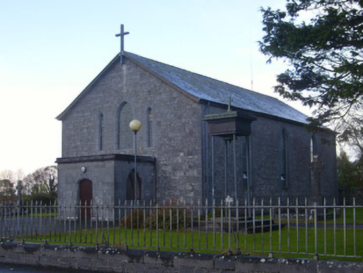 Catholic Church of Saint John the Baptistchurch/chapel · 316 yd
 Hollypark Housedemesne walls/gates/railings · 857 yd
 Burial ground in DromlohanBurial ground · 866 yd
 Derreen Castle (in ruins)Castle, tower house · 1010 yd
 TobermurryHoly well · 1501 yd
 CastleCastle, tower house · 1591 yd
 Stonehall Visitor FarmHeritage attraction · 1747 yd
 European YewEuropean Yew · 1.2 mi
 Celtic Park and GardensHeritage attraction · 1.4 mi
 Sweet ChestnutSweet Chestnut · 2.7 mi
 Ringmoylan PierVisitor information · 3.3 mi
 Mellon PointHeadland · 3.8 mi