What is recorded here
Located at the crest of a S and SE-facing slope. The cropmark of a circular enclosure (diam. c. 50m) defined by a single fosse feature with an entrance gap at S is visible on aerial photographs (MM (11) 16-17; (50) 32-3). It is also visible as a faint feature on aerial photographs (ASIAP (268) 20, 23-26).
The above description is derived from the published 'Archaeological Inventory of County Wexford' (Dublin: Stationery Office, 1996). In certain instances the entries have been revised and updated in the light of recent research.
Compiled by: Michael Moore
Date of upload/revision: 31 August, 2012
Amended: 2 May, 2014
The monument record does not grant public access. Check the route and ask the landowner before entering private land.
- What survives
- Recorded monument
Places near here
 Tanglewoodhouse · 364 yd
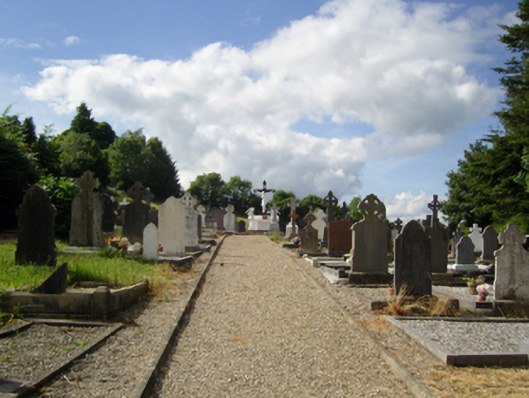 graveyard/cemeterygraveyard/cemetery · 367 yd
 Holy well in St. EdmondsHoly well · 1063 yd
 Embanked enclosureCastle, motte · 1587 yd
 Ecclesiastical enclosure in ArtramonEcclesiastical enclosure · 1.2 mi
 Artramon CastleCastle, tower house · 1.3 mi
 Eden ValeWood · 1.3 mi
 Peace GardenMemorial · 2.2 mi
 Rectory Hall ForestWood · 2.4 mi
 Celebrating 125 YearsMemorial · 3.1 mi
 Three Sisters River CruisesHeritage attraction · 3.9 mi
 Wexford Wildfowl ReserveHeritage attraction · 4.1 mi