What is recorded here
Four ringforts once stood in Ballyshane, but ploughs and fences erased three. The survivor keeps a low stone-faced bank inside a modern fence, hiding more than it reveals. Power described one lost example as double ramparted, suggesting the field once held a small clustered settlement rather than a solitary marker. The fairies may have taken the others, but human impatience is the more likely architect of their disappearance.
In tillage, land slopes gently to E. Shown on 1842 OS 6-inch map as hachured semi-circle S->N (c. 35m N-S), truncated by N-S field fence; Levelled; earthen stone-faced bank retained in N field fence (max. H c. 1m). According to Power (1940, 103) 'There were formerly four lioses, only one of which...survives. One of the destroyed specimens...was double ramparted - though of no great size'.
The above description is derived from the published 'Archaeological Inventory of County Cork. Volume 2: East and South Cork' (Dublin: Stationery Office, 1994). In certain instances the entries have been revised and updated in the light of recent research.
Date of upload/revision: 14 January 2009
The monument record does not grant public access. Check the route and ask the landowner before entering private land.
- What survives
- Recorded monument
Places near here
 Enclosure in Ballyshane (imokilly By.)Enclosure · 359 yd
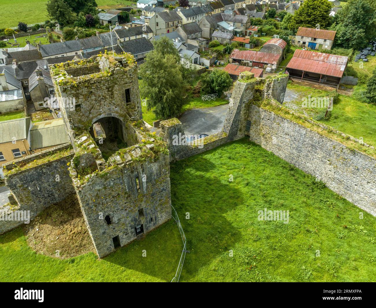 Enclosure in BallybranaganEnclosure · 1005 yd
 Anchor The SagaMemorial · 1267 yd
 rectory/glebe/vicarage/curate's houserectory/glebe/vicarage/curate's house · 1594 yd
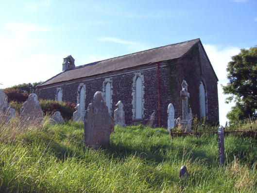 church/chapelchurch/chapel · 1.0 mi
 Ballybrannigan BeachBeach / strand · 1.1 mi
 Doonpower (in Ruins)Castle, unclassified · 1.4 mi
 InchBeach / strand · 1.4 mi
 RobertMemorial · 1.4 mi
 Fossil Worm TrackNamed rock · 1.5 mi
 (Site of) CastleCastle, unclassified · 3.5 mi
 Trabolgan Holiday VillageHeritage attraction · 3.6 mi