What is recorded here
Fairy forts are not fairy forts. They are human rings, built by human hands, and named later because people stopped remembering the hands that made them. Ballyshane is one of those rings: a shallow earth circle in open farmland, with a ditch outside and a second bank beyond it. The name is a story, not a fact. The shape is a fact. The field has walked across it for centuries, and it still holds its line.
In tillage, on level ground. Circular area (35.4m N-S) enclosed by earthen bank (max. int. H 1.4m) SE->NE, with external fosse; outer earthen bank (H 1.2m) S->NE, incorporated into field fence system, insubstantial to N.
The above description is derived from the published 'Archaeological Inventory of County Cork. Volume 2: East and South Cork' (Dublin: Stationery Office, 1994). In certain instances the entries have been revised and updated in the light of recent research.
Date of upload/revision: 14 January 2009
The monument record does not grant public access. Check the route and ask the landowner before entering private land.
- What survives
- Recorded monument
Places near here
 IndicatedFairy fort / earthen ringfort · 750 yd
 Enclosure in Ballyshane (imokilly By.)Enclosure · 756 yd
 rectory/glebe/vicarage/curate's houserectory/glebe/vicarage/curate's house · 1402 yd
 Doonpower (in Ruins)Castle, unclassified · 1529 yd
 Anchor The SagaMemorial · 1590 yd
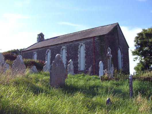 church/chapelchurch/chapel · 1644 yd
 InchBeach / strand · 1.1 mi
 Fossil Worm TrackNamed rock · 1.2 mi
 Ballybrannigan BeachBeach / strand · 1.3 mi
 RobertMemorial · 1.3 mi
 Trabolgan Holiday VillageHeritage attraction · 3.5 mi
 Long OrchardWood · 3.8 mi