What is recorded here
Fairy fort in Ballyshane, County Cork: two earthen rings joined on a south-facing slope, the larger about twenty-two metres across. The bank still stands eighty centimetres high from southeast to the junction, with a shallow ditch outside. Cattle graze around it now, but the shape suggests people once lived there, defended there, or simply marked the land as theirs. The smaller ring may have held a byre, a shrine, or a room for someone who refused to leave.
In pasture, on level patch of ground, on S-facing slope. Depicted on 1842 OS 6-inch map as hachured circular enclosure (diam. c. 22m) conjoined on SW side to circular enclosure (CO100-02002-). Earthen bank (H 0.8m), with external fosse, survives from SSE to junction with conjoined enclosure at SSW.
The above description is derived from the published 'Archaeological Inventory of County Cork. Volume 2: East and South Cork' (Dublin: Stationery Office, 1994). In certain instances the entries have been revised and updated in the light of recent research.
Date of upload/revision: 14 January 2009
The monument record does not grant public access. Check the route and ask the landowner before entering private land.
- What survives
- Recorded monument
Places near here
 IndicatedFairy fort / earthen ringfort · 35 yd
 Prehistoric sitePrehistoric site, lithic scatter · 688 yd
 rectory/glebe/vicarage/curate's houserectory/glebe/vicarage/curate's house · 976 yd
 Doonpower (in Ruins)Castle, unclassified · 1074 yd
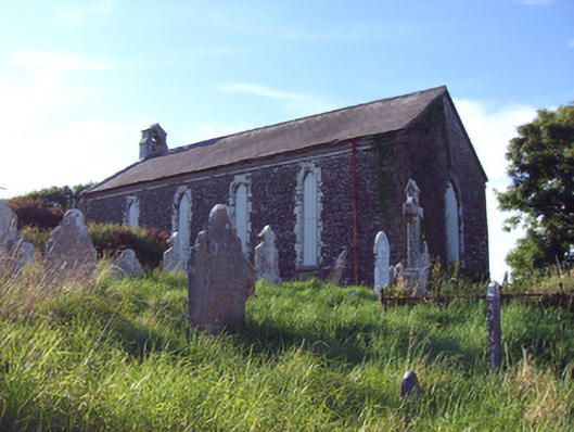 church/chapelchurch/chapel · 1152 yd
 InchBeach / strand · 1229 yd
 Fossil Worm TrackNamed rock · 1431 yd
 RobertMemorial · 1739 yd
 Anchor The SagaMemorial · 1.3 mi
 Ballybrannigan BeachBeach / strand · 1.7 mi
 Trabolgan Holiday VillageHeritage attraction · 3.1 mi
 Long OrchardWood · 3.5 mi