What is recorded here
Located on the summit of a low NW-SE ridge in a low-lying area. This feature is not depicted on any edition of the OS 6-inch map. This is an oval area (dims 31.3m NW-SE; 22.9m NE-SW) defined by an earthen bank and hedge with an external fosse. The original bank survives at E. Elsewhere, the bank and fosse were reconstructed in 1930s.
The above description is derived from the published 'Archaeological Inventory of County Monaghan' (Dublin: Stationery Office, 1986). In certain instances the entries have been revised and updated in the light of recent research.
Date of revision: 28 August 2017
The monument record does not grant public access. Check the route and ask the landowner before entering private land.
- What survives
- Recorded monument
Places near here
 Man-made underground passage in CarrickykellyMan-made underground passage · 924 yd
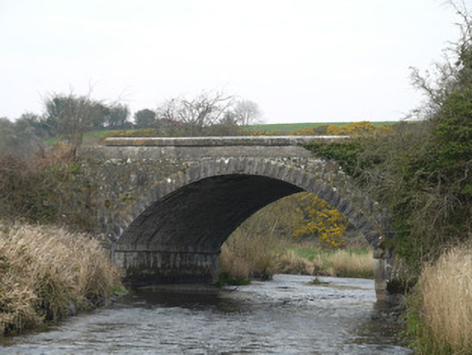 Fane River Bridgebridge · 1310 yd
 Morgans fortFairy fort / earthen ringfort · 1425 yd
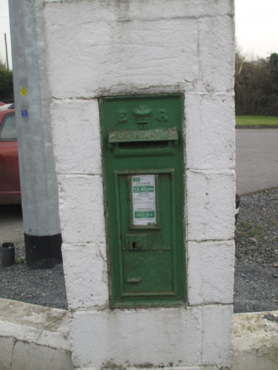 post boxpost box · 1.1 mi
 CastleCastle, unclassified · 2.8 mi
 Mount AshCastle, motte · 3.8 mi
 MEDIEVAL & POST-MED. CHURCH & GRAVEYARD in Creggan Bane GlebeMEDIEVAL & POST-MED. CHURCH & GRAVEYARD · 4.3 mi
 Battle of Newry Roadbattle · 4.4 mi
 Ballsmill Amenity LandPicnic place · 4.5 mi
 KnockreaghMountain / peak · 4.8 mi
 Sky HillMountain / peak · 4.8 mi
 Irish Hunger StrikersMemorial · 5.6 mi