What is recorded here
Fairy fort in Ballyrihy, County Offaly: a 40m earthen ring at the west end of an esker ridge, with a 2.5m scarp, 3m fosse and thin outer bank still visible from southwest to northeast. Modern farm buildings have overwritten the southeast, reminding us that ordinary life keeps taking back what curiosity wants to keep.
Situated at W end of an E-W esker ridge in undulating countryside. Raised roughly circular area (diam 40m) defined by a scarp (H 2.5m), fosse (Wth 3m) and external bank (Wth 1.2m; ext. H 0.5m) which is only visible from SW through W to NE elsewhere it is destroyed. Modern farm buildings are built along the SE side of the site destroying both fosse and external bank.
The above description is derived from the published 'Archaeological Inventory of County Offaly' (Dublin: Stationery Office, 1997). In certain instances the entries have been revised and updated in the light of recent research.
Date of upload: 23 May 2011
The monument record does not grant public access. Check the route and ask the landowner before entering private land.
- What survives
- Recorded monument
Places near here
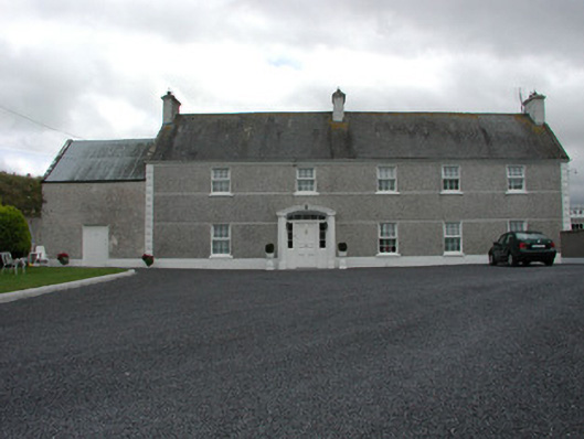 Myrtlegrovefarm house · 1047 yd
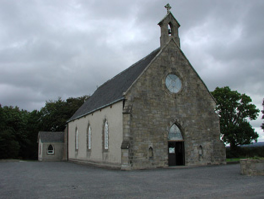 Saint Cuimin's Catholic Churchchurch/chapel · 1288 yd
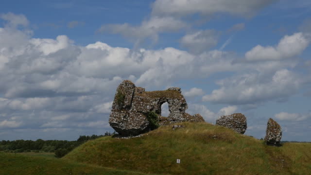 CastleCastle, unclassified · 1400 yd
 Man-made underground passage in CorraclevinMan-made underground passage · 1560 yd
 IndicatedFairy fort / earthen ringfort · 1.0 mi
 Site of CastleCastle, unclassified · 1.9 mi
 Cangort WoodWood · 3.9 mi
 BenduffMountain / peak · 4.1 mi
 Coolock WoodForest · 4.2 mi
 Thomas MacDonagh Heritage CentreMuseum · 4.4 mi
 MacDonagh HouseMemorial · 4.4 mi
 Eagle HillMountain / peak · 5.8 mi