What is recorded here
Ballyrevagh held a forty-three-metre fort on a low rise, visible everywhere but now reduced to a faint northern bank. A farmhouse later occupied its southern heart, embedding human life inside the old boundary rather than destroying it completely. The earth still marks the circle beneath modern use, preserving the shape even when the name faded.
On a low rise of ground in moderately drained pasture with good views in all directions. Depicted as a circular enclosure (approx. diam. 43m) with the designation 'Fort' on the 1837 ed. of the OS 6-inch map. The monument has been levelled, however, the remains of a low bank of earth and stone (Wth 1.5m; ext. H 0.4m; int. H 0.2m) may still be traced at N and E. A late 19th-/early 20th-century farmhouse has been built in the S sector of the interior.
Compiled by: Caimin O'Brien
Date of upload: 28 November 2011
The monument record does not grant public access. Check the route and ask the landowner before entering private land.
- What survives
- Recorded monument
Places near here
 IndicatedFairy fort / earthen ringfort · 570 yd
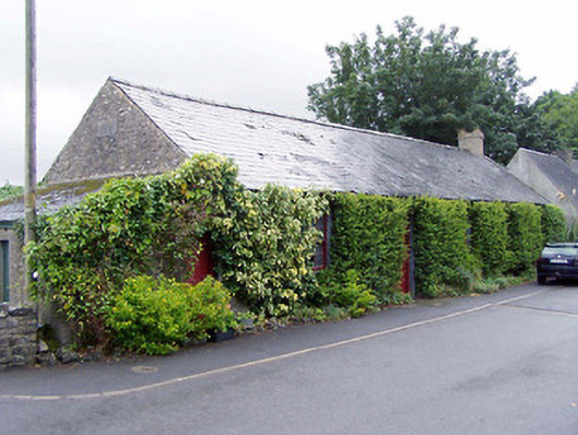 Thomas Ashe Hallhall · 838 yd
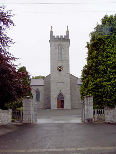 Catholic Church of the Nativity of the Blessed Virginchurch/chapel · 974 yd
 New Row FortFairy fort / earthen ringfort · 1223 yd
 Caltragh CastleCastle, unclassified · 1.2 mi
 Culnagore WoodForest · 1.5 mi
 Elfeet CastleCastle, Anglo-Norman masonry castle · 1.5 mi
 Bush IslandIslet · 1.6 mi
 Elfeet BayBay · 1.8 mi
 Leveran IslandIslet · 2.1 mi
 Pollagh BayBay · 3.1 mi
 St. John's WoodWood · 3.8 mi