What is recorded here
No visible fort remains at Ballyregan, though local lists still call the place a fairy fort. The land has been changed so often that any old edge has vanished or been buried under newer fields and roads. What is missing is not cleverness or magic; it is ordinary human continuity. People stopped maintaining the visible shape, forgot the boundaries, and turned the area to common use. The name preserved the place long after the shape disappeared.
In pasture, on gentle W-facing slope. Sub-circular area (44m N-S; 40m E-W) defined by a scarped edge (H 2.4m; Wth 4.5m) with an external fosse (D 0.7m; Wth 5.7m). Entrance (Wth 6.2m) at NW with causeway across fosse. A field boundary runs along outside edge of fosse NE->SE and S->NW; boundary junctions short distance outside fosse at SSE and N leave site completely enclosed in small field which, apart from interior of enclosure, is covered by thicket of bushes. Interior level, dry and clear of overgrowth except at margins which are covered by overgrowth.
Compiled by: Denis Power
Date of upload: 26 August 2011
The monument record does not grant public access. Check the route and ask the landowner before entering private land.
- What survives
- Recorded monument
Places near here
 Castle MahonCastle · 930 yd
 Mahoonagh Church (in ruins)Church · 947 yd
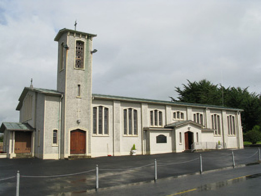 Catholic Church of Saint John the Baptistchurch/chapel · 1195 yd
 Enclosure in Mahoonagh BegEnclosure · 1557 yd
 BarrowBarrow, ring-barrow · 1.8 mi
 Mayne Ho.Castle, unclassified · 2.2 mi
 Garbally WellSpring · 2.8 mi
 ToberhoranSpring · 4.0 mi
 European ashEuropean ash · 4.9 mi
 Ballagh MountainMountain / peak · 5.0 mi
 Limerick GreenwayWalking route · 6.4 mi
 Sugar HillMountain / peak · 7.1 mi