What is recorded here
Situated on a low E-W spur with slight E-W valleys to the N and S and the N-S stream of the Bann River c. 700m to the W. The cropmark of a circular area (dim. c. 30m E-W) is partially visible on aerial photographs (MM (53) 13-17) on the S side of a WNW-ESE field bank. Enclosures (WX006-059001-; WX006-059002-) are c. 80-100m to the SE.
Compiled by: Michael Moore
Date of upload: 2 March, 2012
The monument record does not grant public access. Check the route and ask the landowner before entering private land.
- What survives
- Recorded monument
Places near here
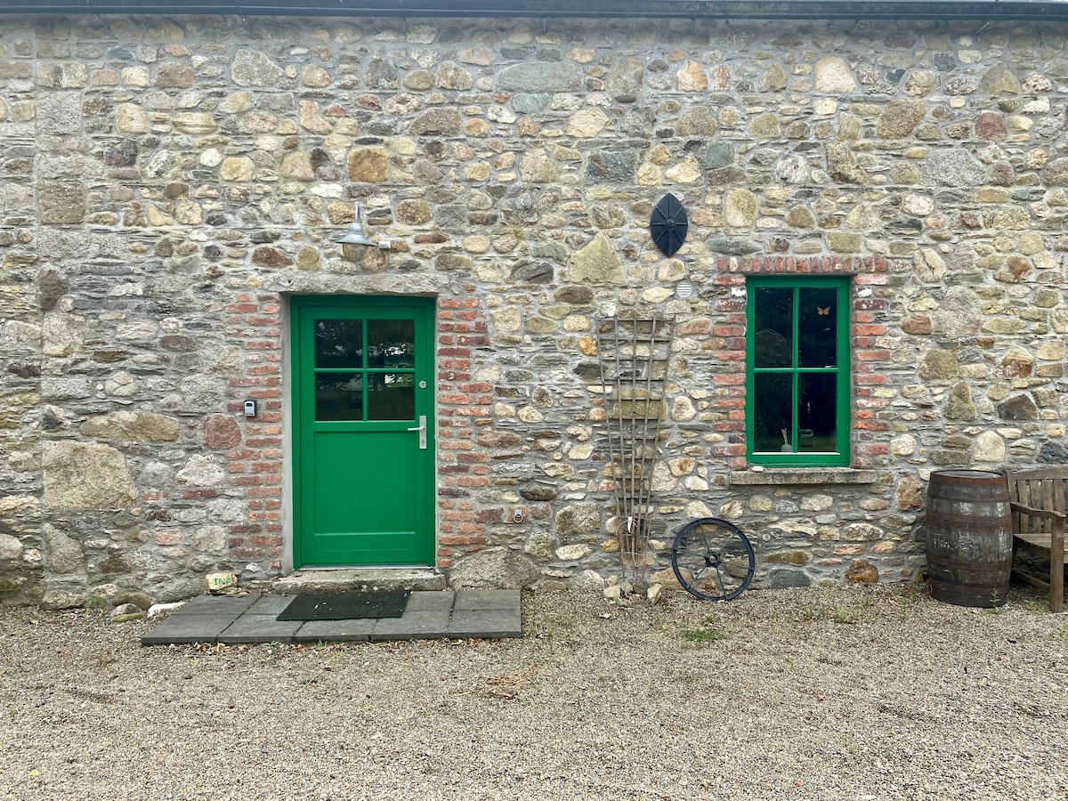 Embanked enclosureFairy fort / earthen ringfort · 136 yd
 TumulusEnclosure · 817 yd
 Gorey HillMountain / peak · 1.2 mi
 Ballingarry WoodForest · 1.3 mi
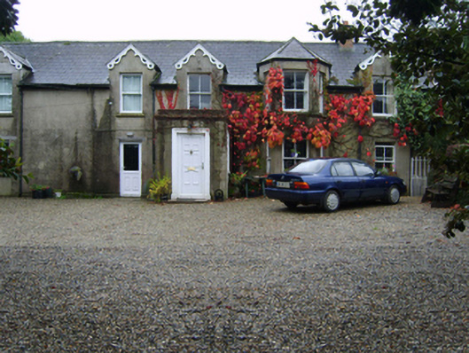 Glandoran Housefarm house · 1.4 mi
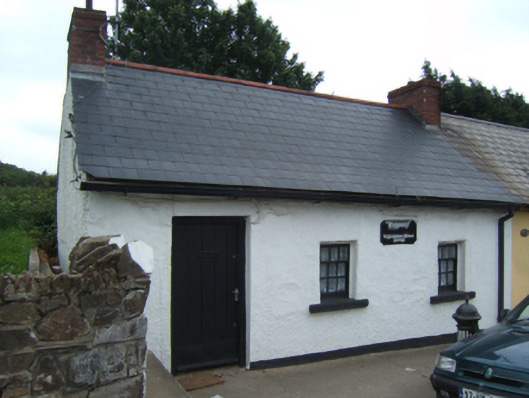 Bygones""house · 1.4 mi
 1798 MonumentMemorial · 1.5 mi
 Market HouseHeritage attraction · 1.7 mi
 Mountnebo WoodForest · 2.3 mi
 Kilmichael HillMountain / peak · 2.5 mi
 CastleCastle, motte · 4.7 mi
 Saint Brigid's WellSpring · 4.7 mi