What is recorded here
Fairy fort / earthen ringfort in Ballyowen stands on low-lying marshy pasture in County Limerick, a circular area about thirty-five metres across enclosed by an earthen bank and external fosse. Dense briars and vegetation still choke the interior, while a field drain cuts the fosse at the east and a two-metre dip marks the south-eastern bank. The shape suggests people once lived, worked or hid there before the land swallowed the edges into pasture and legend.
On low-lying marshy pasture, in undulating terrain. Circular area (diam. c. 35m) enclosed by earthen bank with external fosse (D 0.75m; Wth 3.4m), heavily masked by dense vegetation overgrowth. Bank (int. H 0.4m; ext. H 0.75m) is covered with earth and organic debris SSW->NW. Fosse, best preserved SSW->N, is cut by field drain (on E-W axis) at E. Fosse has been recut SSW->N. Dip in bank (Wth 2m) at SSE. Interior is completely covered with briars.
Compiled by: Denis Power
Date of upload: 26 August 2011
The monument record does not grant public access. Check the route and ask the landowner before entering private land.
- What survives
- Recorded monument
Places near here
 Dotted outlineBawn · 1261 yd
 Grave YardGraveyard · 1321 yd
 Killeedy Church (in ruins)Church · 1325 yd
 Saint Ite's WellSpring · 1328 yd
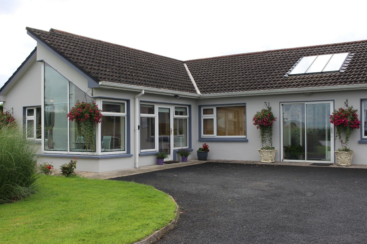 Enclosure in CamasEnclosure · 1429 yd
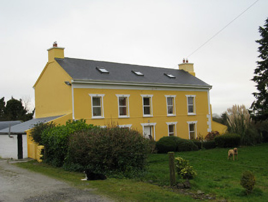 Camas Househouse · 1.2 mi
 Glenquin CastleCastle · 1.9 mi
 Ballagh MountainMountain / peak · 1.9 mi
 TobereenalaffinaSpring · 4.7 mi
 Barnagh HillMountain / peak · 5.1 mi
 Limerick GreenwayWalking route · 5.5 mi
 Mullaghareirk - Banane LoopWalking route · 5.6 mi