What is recorded here
No visible trace remains at Ballyowen, though two concentric earthen banks and a four-metre northern gap were still measured when the site was last examined. The land has swallowed the fort, leaving behind a fairy name and a hidden shape beneath grass. What is missing is not forgetfulness. It is transformation. The fort stopped being a fort and became a living landscape, changing from a made boundary into a natural one.
In level pasture. Monument, depicted as embanked roughly circular enclosure (diam. c. 20m) on 1924 OS 6-inch map, is now covered by dense overgrowth. However, as far as could be ascertained it is enclosed by two concentric earthen banks. Gap (Wth c. 4m) in external bank at N.
Compiled by: Denis Power
Date of upload: 26 August 2011
The monument record does not grant public access. Check the route and ask the landowner before entering private land.
- What survives
- Recorded monument
Places near here
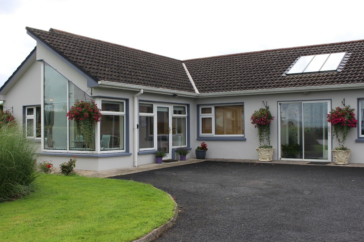 Enclosure in CamasEnclosure · 1054 yd
 Dotted outlineBawn · 1456 yd
 Grave YardGraveyard · 1557 yd
 Saint Ite's WellSpring · 1558 yd
 Killeedy Church (in ruins)Church · 1563 yd
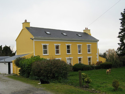 Camas Househouse · 1.1 mi
 Glenquin CastleCastle · 1.8 mi
 Ballagh MountainMountain / peak · 2.1 mi
 TobereenalaffinaSpring · 4.5 mi
 Barnagh HillMountain / peak · 5.0 mi
 Limerick GreenwayWalking route · 5.3 mi
 Mullaghareirk - Banane LoopWalking route · 5.8 mi