What is recorded here
Denis Power documented the Ballynolan ringfort in 2011, revealing a sub-circular enclosure where human hands met natural destiny. An earth-and-stone bank stretches from southeast to east-northeast, while a sheer cliff completes the circle by dropping into the valley below. The ground rises gently toward the centre, suggesting the residents trusted the landscape to finish what they began. Such confidence transforms a fort into a partnership, where stone and gravity share the work of keeping intruders at bay.
In elevated pasture, with sheer natural edge dropping into valley immediately to N and E. Sub-circular area (37m N-S; 34m E-W) enclosed by earth-and-stone bank (int. H 0.35m; ext. H 0.3m) SE->ENE, and defined by top edge of sheer edge ENE->SE. Interior, under pasture, rises gently towards centre.
Compiled by: Denis Power
Date of upload: 26 August 2011
The monument record does not grant public access. Check the route and ask the landowner before entering private land.
- What survives
- Recorded monument
Places near here
 Fulacht fia in TobermurryFulacht fia · 753 yd
 Shanpallas CastleCastle · 796 yd
 Castle (in ruins)Castle, tower house · 804 yd
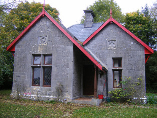 Dromore Castlegate lodge · 807 yd
 Grave Yd.Graveyard · 813 yd
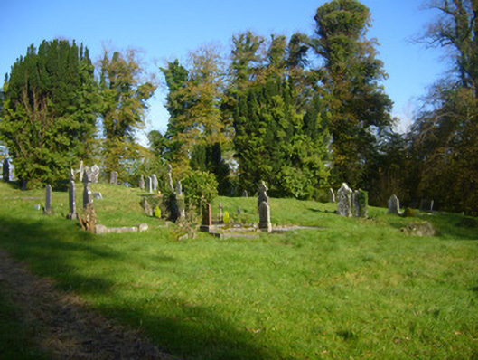 Pallaskenry Church (Chapelrussell)graveyard/cemetery · 833 yd
 Sweet ChestnutSweet Chestnut · 1.6 mi
 Celtic Park and GardensHeritage attraction · 2.0 mi
 Stonehall Visitor FarmHeritage attraction · 2.3 mi
 Mellon PointHeadland · 2.4 mi
 Ringmoylan PierVisitor information · 2.5 mi
 Rinekirk PointHeadland · 2.6 mi