What is recorded here
Marianne and Denis Power recorded the Ballynoe ringfort in 2011, preserving its twin earth banks, narrow passage and hidden ditch within ordinary pasture. The measurements leave no room for fantasy, yet the completed shape suggests a small defensible house rather than a child's game. Its size and form place it among the common rural fortifications of County Limerick, built to enclose life and exclude danger. The absent name and vanished occupants make that much more striking, because the earth still holds the outline of the choice they made.
In level pasture. Circular area (diam. c. 30m) enclosed by two concentric earthen banks with intervening (Wth 1.8m) and external fosse (D 0.4m; Wth 1.4m). Both inner bank (int. H 0.4m; ext. H 1m) and external bank (int. H 1.4m; ext. H 1m) are covered by dense overgrowth. Interior is also covered by dense overgrowth.
Compiled by: Denis Power
Date of upload: 26 August 2011
The monument record does not grant public access. Check the route and ask the landowner before entering private land.
- What survives
- Recorded monument
Places near here
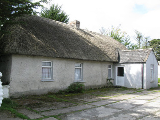 farm house, housefarm house, house · 647 yd
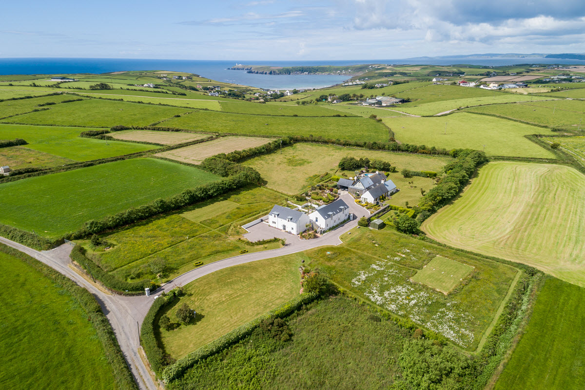 Enclosure in Ballynoe (glenquin By., Ballynoe West Ed)Enclosure · 721 yd
 Clonetly Church (in ruins)Church · 798 yd
 Partially indicatedEcclesiastical enclosure · 840 yd
 Ballynoe Castle (in ruins)Castle, tower house · 1397 yd
 Sunday WellSpring · 1557 yd
 Lady's WellSpring · 1610 yd
 Mayne Ho.Castle, unclassified · 2.4 mi
 European ashEuropean ash · 3.0 mi
 Famine stoneMemorial · 5.2 mi
 Ballagh MountainMountain / peak · 8.2 mi
 Limerick GreenwayWalking route · 8.7 mi