What is recorded here
Fairy forts are human ringforts misnamed because the honest answer is nobody knows who built them or when. Ballynoe holds three circular enclosures on a north-facing slope, the main one measuring roughly thirty metres across. The western half still rises slightly above pasture while the eastern half has levelled into grass. Whatever lived there stopped leaving marks, but the circles remained large enough to refuse forgetting.
In pasture, on N-facing slope. Shown on 1842 OS 6-inch map as circular area, W half hachured as semi-circular arc, E half indicated. Levelled; low circular rise (c. 31m N-S; 29.7m E-W) follows line of enclosure. Two circular enclosures (CO053-024---; CO053-026---) c. 100m to W and SW respectively.
The above description is derived from the published 'Archaeological Inventory of County Cork. Volume 2: East and South Cork' (Dublin: Stationery Office, 1994). In certain instances the entries have been revised and updated in the light of recent research.
Date of upload/revision: 14 January 2009
The monument record does not grant public access. Check the route and ask the landowner before entering private land.
- What survives
- Recorded monument
Places near here
 Enclosure in HightownEnclosure · 251 yd
 Enclosure in BallydaEnclosure · 931 yd
 Devonshire's HillMountain / peak · 1224 yd
 Monananig WoodsWood · 1647 yd
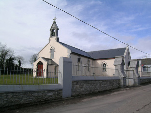 Saint Bartholomew's Churchchurch/chapel · 1.2 mi
 Ballyready Househouse · 1.3 mi
 Rathcormac massacremassacre · 1.4 mi
 Moanbaun ForestForest · 2.3 mi
 Tower (in Ruins)Bawn · 2.6 mi
 Court (site of )Castle, unclassified · 3.0 mi
 Gleeson MemorialMemorial · 5.7 mi
 Cork WalksVisitor information · 12 mi