What is recorded here
Fairy forts are no more real than fairy forts. They are earthen rings built by human hands for human lives. The magic is a cloak for forgotten craft. Under that cloak sits a small circular enclosure in Ballyneety pasture, partly levelled but still marking the ground where people lived, worked and were buried.
In pasture, near base of E-facing slope. Monument, depicted on 1923 OS 6-inch map as sub-circular embanked enclosure, has been levelled. However, it is now evident as roughly circular area (26.2m N-S; 24m E-W) defined by scarped edge (H 0.25m; Wth 1.8m), with external fosse (D 0.2m; Wth 2.3m) SE->S. Arc of infilled fosse is identified by band of nettles (Wth 2m) running around base of scarp NE->W and wider band of yellow grass (Wth 5.5m) S->N. Interior, under pasture, slopes down to E.
Compiled by: Denis Power
Date of upload: 26 August 2011
The monument record does not grant public access. Check the route and ask the landowner before entering private land.
- What survives
- Recorded monument
Places near here
 Ballyegny Househouse · 616 yd
 Castle (in ruins)Castle, tower house · 618 yd
 IndicatedFairy fort / earthen ringfort · 740 yd
 Mound in Ballyegny BegMound · 1019 yd
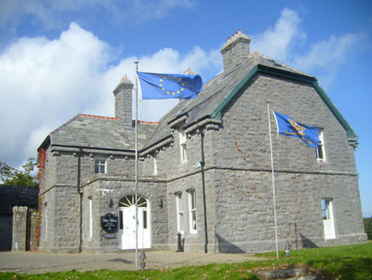 Rathgoonan Housecountry house · 1412 yd
 St. Luke's WellSpring · 1.4 mi
 CahermoyleCastle, unclassified · 1.5 mi
 St. Kieran's WellSpring · 2.3 mi
 European ashEuropean ash · 5.0 mi
 Askeaton CastleHeritage attraction · 5.9 mi
 Limerick GreenwayWalking route · 6.3 mi
 Gammarel PointHeadland · 6.4 mi