What is recorded here
Fairy fort / earthen ringfort in Ballyneety (Neddans parish) is a fairy fort or earthen ringfort in Ballyneety (Neddans parish), County Tipperary, Ireland. The circular enclosure measures 30 metres north-south and 26.7 metres east-west, with a 0.76-metre-high scarp and a 5.2-metre-wide, 0.36-metre-deep ditch. The northeast quadrant shows disturbance where interior earth has pushed into the ditch, and the flattened profile likely resulted from past ploughing. The site remains visible in pasture land that slopes south and east.
In gently undulating terrain, in lush pasture. Land sloping to S and E. Circular raised area (diam. 30m N-S; 26.7m E-W) defined by scarp (H 0.76m over 3m) and wide, U-shaped fosse (Wth 5.2m; D 0.36m). There has been some disturbance in the NE quadrant where the interior has been pushed into the fosse. This enclosure shows up clearly on aerial photograph (CUCAP July 1970 BDR 83). It is likely that the monument was ploughed over sometime in the past resulting in its present flattened profile.
Compiled by: Jean Farrelly
Date of upload: 12 February 2014
The monument record does not grant public access. Check the route and ask the landowner before entering private land.
- What survives
- Recorded monument
Places near here
 Enclosure in Ballyneety (neddans Par.)Enclosure · 607 yd
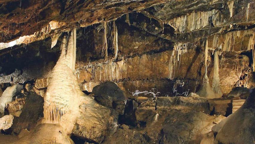 CaveMan-made underground passage · 641 yd
 IndicatedRoad, road/trackway · 1.3 mi
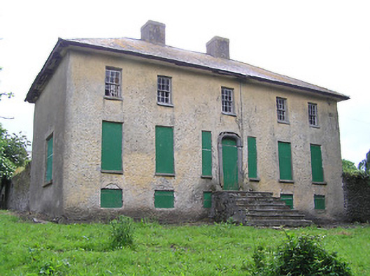 Lacken Househouse · 1.4 mi
 Ballindoney Castle (in ruins)Castle, tower house · 1.5 mi
 Site of Clocully CastleCastle, unclassified · 1.6 mi
 Woodcock HillMountain / peak · 2.2 mi
 European long distance path E8 - part IrelandWalking route · 2.3 mi
 Hybrid Black PoplarHybrid Black Poplar · 2.5 mi
 Deodar CedarDeodar Cedar · 2.7 mi
 Roche's HillMountain / peak · 5.1 mi
 Cahir CastleHeritage attraction · 5.3 mi