
What is recorded here
In very undulatiang terrain sloping to the ESE, in meadow. Ballindoney tower house visible 2km to the NE. Identified as circular enclosure on an aerial photograph (CUCAP July 70 BDR 82), the fosse is apparent as a cropmark. The monument consists of a large raised area (diam. 60m NE-SW) defined by scarp (H 0.69-0.77m) which appears to have been dug into around the edge in the NE, SE and SW quadrants, forming circular depressions. The edge of the NW quadrant is unclear, the entire edge has been removed. The outer fosse is only evident in the SW quadrant (WTh 5m; D 0.32m over 5m). The interior slopes gently to the NE. On the aerial photograph there is a possible break in fosse in the E quadrant which may indicate the position of the entrance.
Compiled by: Jean Farrelly
Date of upload: 12 February 2014
This remains an important historical record, but the official description says the monument is no longer visible or has been destroyed. The monument record does not grant public access. Check the route and ask the landowner before entering private land.
- What survives
- No visible remains or recorded as destroyed
Places near here
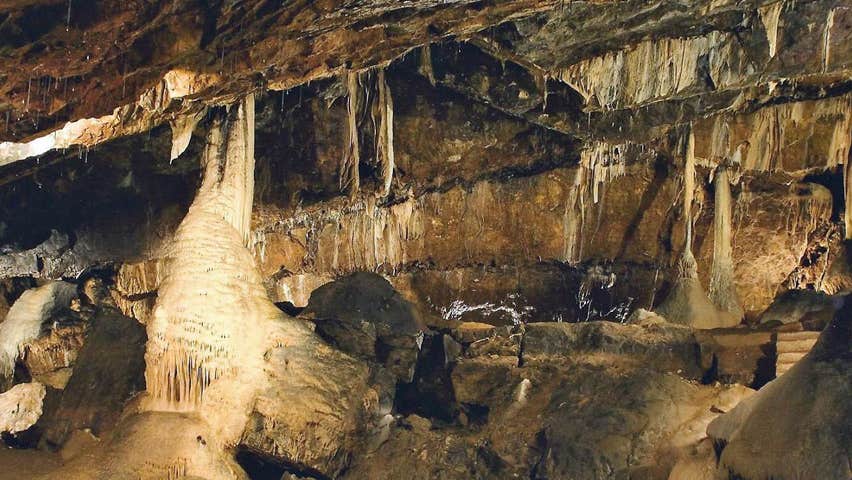 CaveMan-made underground passage · 809 yd
 Enclosure in ArdfinnanEnclosure · 1752 yd
 IndicatedRoad, road/trackway · 1.1 mi
 Church in ArdfinnanChurch · 1.2 mi
 Ballindoney Castle (in ruins)Castle, tower house · 1.3 mi
 Woodcock HillMountain / peak · 1.8 mi
 Site of Clocully CastleCastle, unclassified · 1.9 mi
 European long distance path E8 - part IrelandWalking route · 2.7 mi
 Hybrid Black PoplarHybrid Black Poplar · 2.7 mi
 Deodar CedarDeodar Cedar · 2.9 mi
 Cahir CastleHeritage attraction · 4.9 miSiege of Cahir Castlesiege · 5.1 mi
Other information
Photo: Credit not shown in the picture search · Rights wording not checked; contact us if this picture should be removed