What is recorded here
Fairy fort / earthen ringfort in Ballyneety (Neddans parish) is a fairy fort or earthen ringfort in Ballyneety (Neddans parish), County Tipperary, Ireland. The circular area measures 25.4 metres north-south and 27.6 metres east-west, with a 0.66-metre-high scarp and a 3.9-metre-wide, 0.67-metre-deep flat-bottomed ditch. The scarp and ditch are less pronounced in the north quadrant, where they may have been filled in or mark a causeway.
In very undulating terrain, sloping to the SSE, in meadow. Raised circular area (diam. 25.4m N-S; 27.6m E-W) defined by scarp (H 0.66m over 5.5m) and wide, flat-bottomed fosse (Wth 3.9m; D 0.67 over 7m). Interior slightly concave. Scarp and fosse are less pronounced in the N quadrant, may have been filled in or be remains of a causeway. The scarp has been dug into along its edge in the SW quadrant and has eroded into the fosse in the W sector. The outline of the fosse shows up clearly on an aerial photograph (ASIAP (30) 29-30). The monument appears to be denuded ringfort which has been ploughed over. On the 1st (1840) ed. OS 6-inch map a field boundary is depicted bisecting the monument, running NW-SE. This field boundary is not depicted on the 1904-05 ed.
Compiled by: Jean Farrelly
Date of upload: 12 February 2014
The monument record does not grant public access. Check the route and ask the landowner before entering private land.
- What survives
- Recorded monument
Places near here
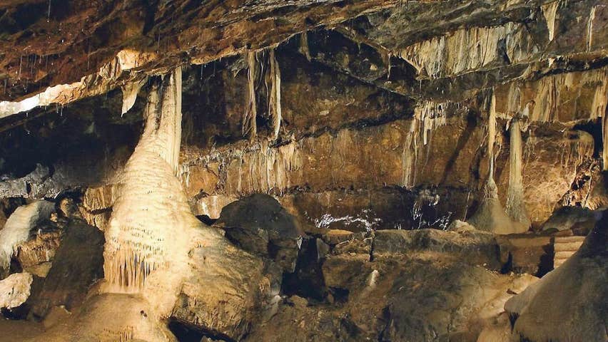 CaveMan-made underground passage · 326 yd
 Enclosure in Ballyneety (neddans Par.)Enclosure · 518 yd
 IndicatedRoad, road/trackway · 1.1 mi
 Church in ArdfinnanChurch · 1.2 mi
 Ballindoney Castle (in ruins)Castle, tower house · 1.5 mi
 Site of Clocully CastleCastle, unclassified · 1.6 mi
 Woodcock HillMountain / peak · 2.0 mi
 European long distance path E8 - part IrelandWalking route · 2.4 mi
 Hybrid Black PoplarHybrid Black Poplar · 2.7 mi
 Deodar CedarDeodar Cedar · 2.9 mi
 Roche's HillMountain / peak · 4.9 mi
 Crusader's GraveHeritage attraction · 5.0 mi