What is recorded here
No fairy fort, no mystery. A ringfort: earth and stone banked around a scarped circle, forty-three metres across on an ENE-facing slope in Ballyneale. The gap faces NE-SE, the kind of opening that admits light, air, entry and exit. Whatever lived there left a shape the land still holds.
In rough pasture, on ENE-facing slope. Circular area (43.5m N-S) defined by scarped edge, and enclosed by concentric earth-and-stone bank which runs 5.2m outside base of scarp. Scarp (H 1.15m; Wth 1.9m), best preserved NE->SE, lowers at S where it meets higher ground. Outer bank (int. H 1.05m; ext. H 1.1m), heavily masked by dense overgrowth along W side, has gap (Wth 9.8m) NE->SE. Interior, under pasture, rises up gently towards centre; clusters of furze bushes grow along edges.
Compiled by: Denis Power
Date of upload: 26 August 2011
The monument record does not grant public access. Check the route and ask the landowner before entering private land.
- What survives
- Recorded monument
Places near here
 Burial Ground for ChildrenChildren's burial ground · 982 yd
 Enclosure in Kilmihil (connello Upper By.)Enclosure · 1109 yd
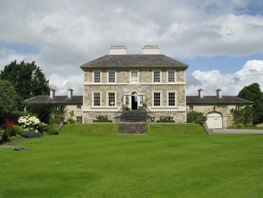 Ballyneale Housecountry house · 1288 yd
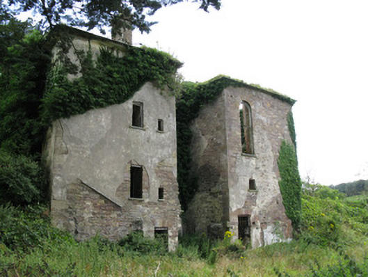 Ballynoe Housecountry house, stables · 1.0 mi
 Famine stoneMemorial · 1.5 mi
 KnockfeerinaMountain / peak · 1.8 mi
 Hachured (1923).Castle, motte · 1.9 mi
 Castle (in ruins)Castle, tower house · 1.9 mi
 Our Lady's WellSpring · 2.7 mi
 Lady's WellSpring · 3.5 mi
 Flat cemetery in Kiltenan SouthFlat cemetery · 4.8 mi
 Dysert AenghusaHeritage attraction · 6.0 mi