What is recorded here
In undulating pasture, to W of a low scarp. The rath is indicated on the 1914 OS 6-inch map as an oval raised area. The remains consist of an oval sunken area (20.9m x 19.1m) enclosed by an earthen bank (Wth 2.5m; int. H 0.75m; ext. H 0.5m). The interior is overgrown with vegetation. The rath is adjacent to a football pitch.
The above description is derived from the published 'Archaeological Inventory of County Sligo' compiled by Ursula Egan, Elizabeth Byrne, Mary Sleeman with Sheila Ronan and Connie Murphy (Dublin Stationery Office, 2005).
Date of upload: 18 January 2008
The monument record does not grant public access. Check the route and ask the landowner before entering private land.
- What survives
- Recorded monument
Places near here
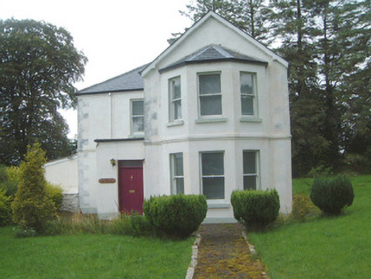 The Old Rectorypresbytery/parochial/curate's house · 545 yd
 Geevagh Prisoners 1908 MemorialMemorial · 568 yd
 Granny's Wellwater pump · 581 yd
 Ritual siteRitual site, holy/saint's stone · 1731 yd
 Enclosure in Drumbeg NorthEnclosure · 1.1 mi
 Tobar Ailbhe Holy WellMemorial · 2.0 mi
 Carrane HillCliff · 2.3 mi
 Barroe NorthMountain / peak · 2.6 mi
 CastleCastle, motte and bailey · 2.6 mi
 Roundhouse Hill WoodForest · 3.2 mi
 Green IslandIslet · 3.2 mi
 Black WoodForest · 3.2 mi