What is recorded here
Fairy fort in Ballynamona, County Limerick: an oval earthen ring, 34m by 38m, with a shallow bank and a grassy dip toward the centre. Cattle still walk where people may have stood, and the faded western edge suggests the land itself has been rewriting the shape. What was hidden is not gone; it has been lowered into pasture, waiting for eyes that know how to read soil.
In gently undulating pasture, atop low rise. Oval area (34m N-S; 38m E-W) enclosed by earthen bank (int. H 0.3m; ext. H 0.35m). Bank, best preserved along S arc, fades out at W where field boundary, which overlay it, has been removed. Interior, under pasture, dips down gently towards centre; outcropping limestone evident in places. Site is depicted as rectangular enclosure on 1841 OS 6-inch map, and is listed by Barry (1981, 84) as possible moated site.
Compiled by: Denis Power
Date of upload: 26 August 2011
This remains an important historical record, but the official description says the monument is no longer visible or has been destroyed. The monument record does not grant public access. Check the route and ask the landowner before entering private land.
- What survives
- No visible remains or recorded as destroyed
Places near here
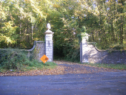 Curragh Chasedemesne walls/gates/railings · 361 yd
 CairnCairn, unclassified · 1139 yd
 Celtic Cross Monument to Robert Stephen De VereMonument · 1302 yd
 Ballinvirick Housecountry house · 1558 yd
 Little HeavenHeritage attraction · 1.0 mi
 Curraghchase Forest ParkForest · 1.3 mi
 European YewEuropean Yew · 1.7 mi
 CastleCastle, tower house · 1.8 mi
 Cappagh CastleCastle · 2.1 mi
 Flat cemetery in CroaghFlat cemetery · 2.8 mi
 European BeechEuropean Beech · 4.9 mi
 Flat cemetery in Kiltenan SouthFlat cemetery · 4.9 mi