What is recorded here
Fairy fort in Ballynamona, County Meath, is a grassy ring about thirty metres across, marked by a low earthen bank and a faint outer ditch tucked into a slight col. It may have been a farmstead, a refuge or a boundary marker, yet the completed facts do not say which. A person could have lived there, lost there or simply passed beside it while believing the land already understood the shape.
Situated in a slight col in a gently undulating, low-lying landscape with slightly higher ground c. 50m to the ENE and c. 100m to the SSW but with lower ground to the NW. This is a circular grass-covered area (diam. 31m NW-SE; 28m NNE-SSW) defined by an earthen bank (at SSW: Wth of base 4.5m; int. H 0.7-0.9m) which is incorporated into a relict field bank (Wth of base 5m; int. H 0.9m; ext. H 1.9m) NNW-NE, and a slight outer fosse (at SSW: Wth of base 1.6m; ext. D 0.2m) SSE-NW. The original entrance is not identified.
The above description is derived from the published 'Archaeological Inventory of County Meath' (Dublin: Stationery Office, 1987). In certain instances the entries have been revised and updated in the light of recent research.
Compiled by: Michael Moore
Date of revision: 8 January 2019
The monument record does not grant public access. Check the route and ask the landowner before entering private land.
- What survives
- Recorded monument
Places near here
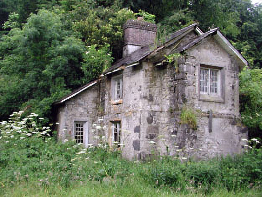 Loughcrew Housegate lodge · 880 yd
 Enclosure in GalleastownEnclosure · 1010 yd
 CrossCross, Wayside cross · 1107 yd
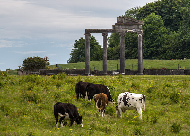 Loughcrew House porticoRuins · 1485 yd
 LoughcrewMegalithic tomb cemetery · 1712 yd
 Slieve Na CalliaghMountain / peak · 1.0 mi
 Loughcrew Megalithic TombsHeritage attraction · 1.0 mi
 Common LimeCommon Lime · 1.1 mi
 Carnbane WestMountain / peak · 1.1 mi
 European YewEuropean Yew · 1.2 mi
 C11Named rock · 1.2 mi
 MoatCastle, motte · 1.3 mi