What is recorded here
Fairy fort / earthen ringfort in Ballynamona (fermoy By., Glanworth Par.) and Ringfort - rath transform a bare identifier into a place that can be seen, remembered and answered.
In undulating pasture. Depicted as hachured circular enclosure on 1842 OS 6-inch map; as circular area enclosed by hachured scarp E->SW and field boundary SW->E on 1906 and 1934 OS 6-inch maps. Levelled; roughly circular area (26m E-W) enclosed by low rise (H 0.6m). Ringfort (CO027-011---) lies c. 120m to E.
The above description is derived from the published 'Archaeological Inventory of County Cork. Volume 4: North Cork' (Dublin: Stationery Office, 2000). In certain instances the entries have been revised and updated in the light of recent research.
Date of upload/revision: 14 January 2009
The monument record does not grant public access. Check the route and ask the landowner before entering private land.
- What survives
- Recorded monument
Places near here
 Enclosure in Ballynamona (fermoy By., Glanworth Par.)Enclosure · 266 yd
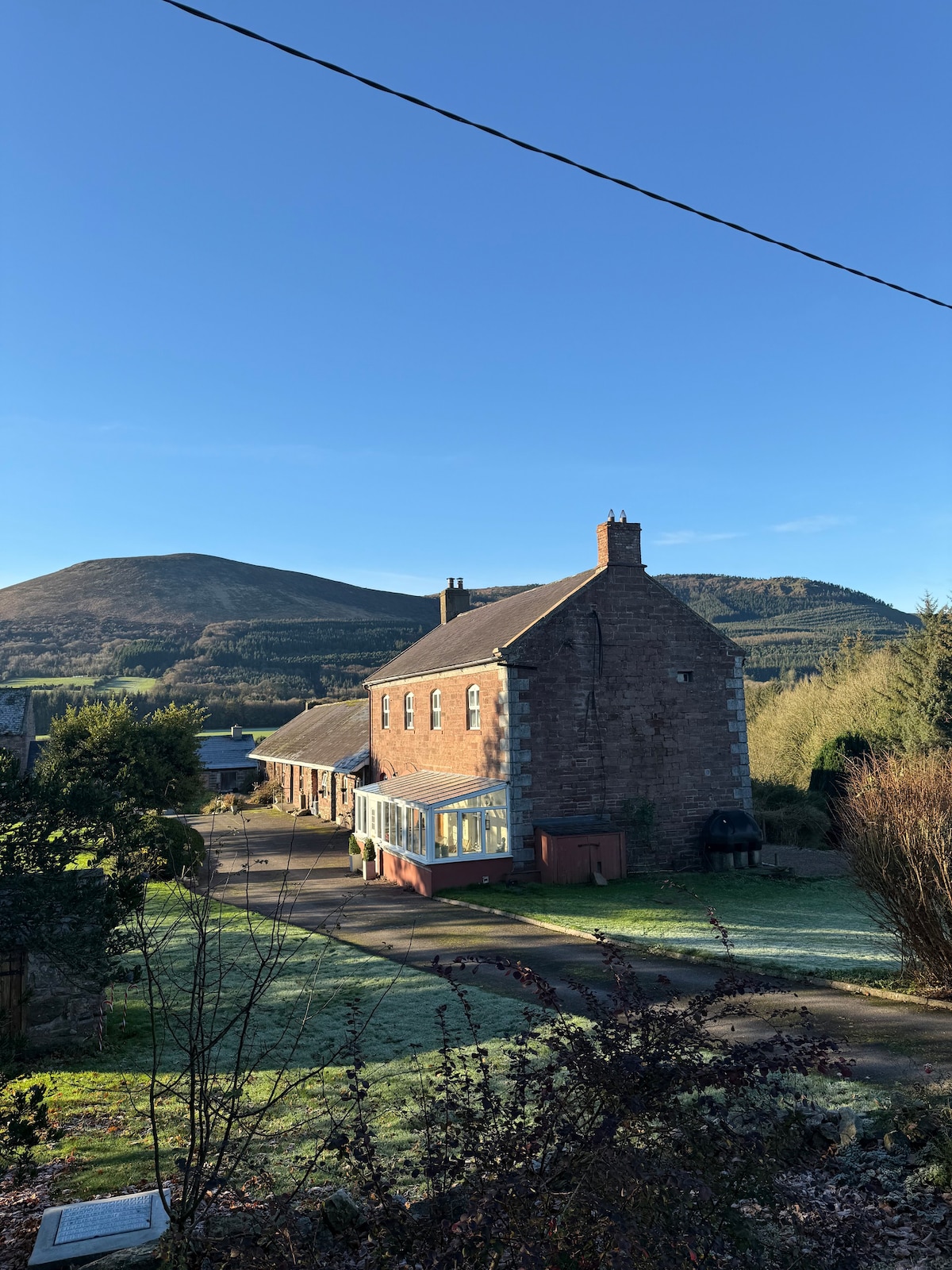 IndicatedFairy fort / earthen ringfort · 733 yd
 viaductviaduct · 843 yd
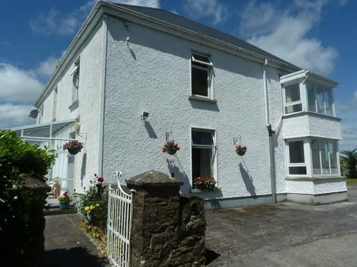 Ballykenly BrBridge · 925 yd
 Castle (in Ruins)Castle, tower house · 1214 yd
 Derryvillane Castle (in Ruins)Castle, unclassified · 1.2 mi
 Graveyard in BoherashGraveyard · 1.3 mi
 St Dominick's WellSpring · 1.3 mi
 Flat cemetery in Ballyenahan NorthFlat cemetery · 2.8 mi
 Anne's Grove GardensHeritage attraction · 4.5 mi
 Blackwater (Avondhu) WayWalking route · 4.9 mi
 North Meadow WoodForest · 5.2 mi