What is recorded here
Ballynamannin holds a worn circular rath twenty-three metres across, marked only by a low bank on a gentle north-facing slope. A field wall now cuts through its northern edge, and a broad depression lies in the southeast interior where something may have stood or fallen. The fort has lost its sharp lines, but the shape remains: a small ring of earth set into pastureland, waiting to be remembered.
On a gentle N-facing slope in pastureland. Poorly preserved circular rath (diam. 23.6m) defined by a bank. A field wall cuts the monument at NNW and NNE. McCaffrey (1952, 215, no. 32) noted traces of an external fosse at S but no visible surface trace of it survives. There is a large depression (11m E-W; 3m N-S) in the SE quadrant of the interior.
Compiled by: Galway Archaeological Survey, UCG
Date of upload: 5 January 2017
The monument record does not grant public access. Check the route and ask the landowner before entering private land.
- What survives
- Recorded monument
Places near here
 LisnakehernyFairy fort / earthen ringfort · 438 yd
 LismoylanFairy fort / earthen ringfort · 583 yd
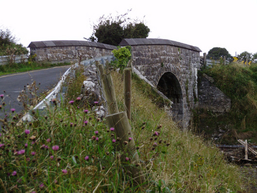 bridgebridge · 880 yd
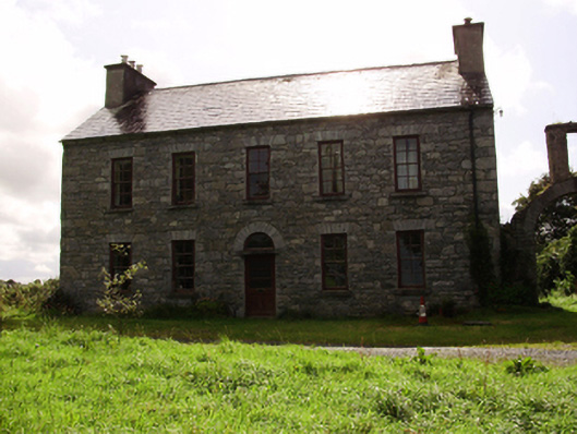 Kilquain Househouse · 1038 yd
 CarnanthomasCastle, unclassified · 1.0 mi
 Roo Castle (in ruins)Castle, tower house · 1.1 mi
 Moyard WoodWood · 4.1 mi
 Kilcornan ForestWood · 5.2 mi
 Drumharsna CastleHeritage attraction · 6.1 mi
 MweenisharanIslet · 8.3 mi
 IllananireyIslet · 9.2 mi
 Ballynamannin FortFairy fort / earthen ringfort · 653 yd