
What is recorded here
In rolling pastureland, a stream lies immediately to the SW. Poorly preserved circular rath (diam. 91.5m ext.) defined by three banks and two intervening fosses. McCaffrey (1952, 215-16, no. 65) noticed traces of stone-facing on the inner faces of the inner and outermost banks. A gap at N may be original as that through the middle bank is defined along its W side by transverse blocks. A field wall cuts across the monument at SE and SW and field-clearance rubble has been piled into the inner fosse. The railway line has destroyed the outer bank from SW to NW. There is a Man-made underground passage (GA104-052001-) in the S half of the interior.
Compiled by: Galway Archaeological Survey, UCG
Date of upload: 18 January 2017
The monument record does not grant public access. Check the route and ask the landowner before entering private land.
- What survives
- Recorded monument
Places near here
 St. Cronans Holy WellHoly well · 227 yd
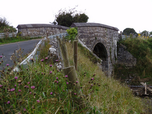 bridgebridge · 231 yd
 Enclosure in BallynamanninEnclosure · 283 yd
 Ardnamoran ChurchChurch · 958 yd
 CarnanthomasCastle, unclassified · 1.2 mi
 Roo Castle (in ruins)Castle, tower house · 1.4 mi
 Moyard WoodWood · 4.5 mi
 Kilcornan ForestWood · 5.2 mi
 Drumharsna CastleHeritage attraction · 5.8 mi
 MweenisharanIslet · 8.3 mi
 IllananireyIslet · 9.1 mi
 LismoylanFairy fort / earthen ringfort · 695 yd
Other information
Photo: Credit not shown in the picture search · Rights wording not checked; contact us if this picture should be removed