What is recorded here
Situated on a slight E-W rise in the floodplain of the ENE-WSW Bann River, with the stream c. 250m to the N. The cropmark of a circular enclosure (diam. c. 30m) defined by a single fosse feature is visible on aerial photograph (CUCAP: BDJ 63). No feature is visible at ground level in a cereal crop.
The above description is derived from the published 'Archaeological Inventory of County Wexford' (Dublin: Stationery Office, 1996). In certain instances the entries have been revised and updated in the light of recent research.
Compiled by: Michael Moore
Date of upload/revision: 30 April, 2012
Amended: 7 May, 2014
A fairy fort or earthen ringfort in Ballynakill, likely dating to the early medieval period, is indicated by a circular enclosure (c. 30m diameter) visible as a cropmark, defined by a single fosse. Local tradition associates such sites with fairy folklore, reflecting their perceived otherworldly or supernatural significance in Irish tradition.
The monument record does not grant public access. Check the route and ask the landowner before entering private land.
- What survives
- Recorded monument
Places near here
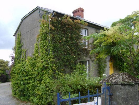 The Bayfarm house · 1092 yd
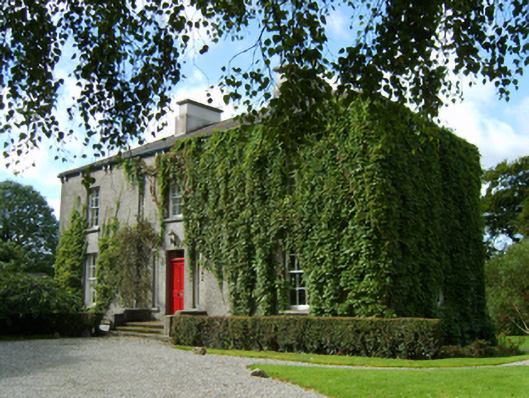 rectory/glebe/vicarage/curate's houserectory/glebe/vicarage/curate's house · 1236 yd
 Enclosure in KilboraEnclosure · 1467 yd
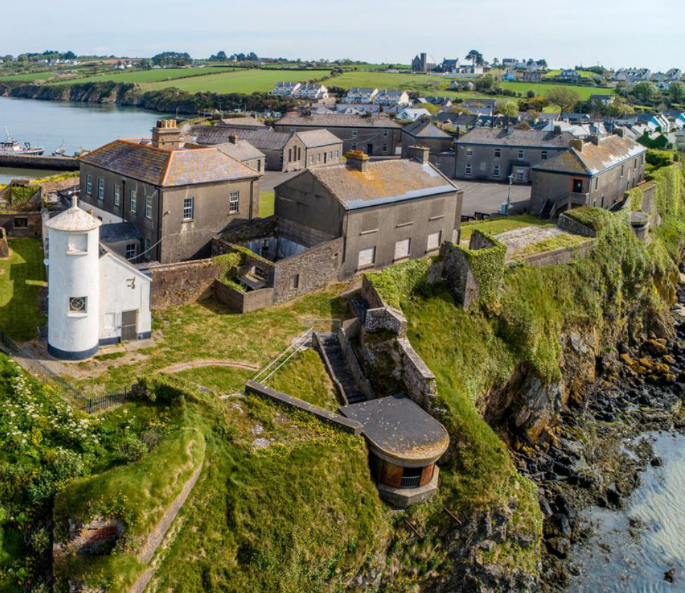 Enclosure in BolinaspickEnclosure · 1.1 mi
 Kilbora WoodForest · 1.4 mi
 Coolroe WoodForest · 1.4 mi
 Milshoge RockMountain / peak · 1.8 mi
 Ferns Castle (in ruins)Castle, Anglo-Norman masonry castle · 2.2 mi
 Giants BedNamed rock · 2.3 mi
 Carrigroe HillMountain / peak · 2.7 mi
 CastleCastle, unclassified · 3.1 mi
 Father Murphy CentreHeritage attraction · 3.9 mi