What is recorded here
No church tower, no hall beam, no master plan. Only a round ditch and a bank, drawing the eye back to itself. The landowner refused entry, preserving the fortress against knowing.
Landowner refused the Survey permission to inspect this monument which is depicted as embanked circular enclosure (diam. c. 40m) on 1841 OS 6-inch map. The 1924 OS 6-inch maps shown enclosing bank overlain by field boundary, with external fosse SE->SW.
The monument record does not grant public access. Check the route and ask the landowner before entering private land.
- What survives
- Recorded monument
Places near here
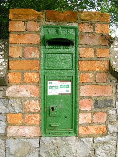 post boxpost box · 935 yd
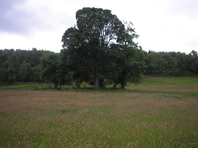 Burial GroundGraveyard · 944 yd
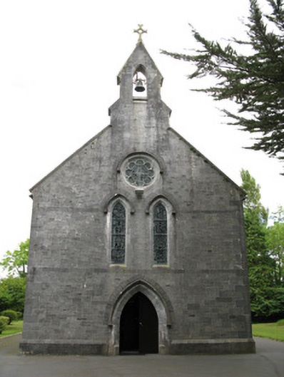 Saint Mary's Catholic Churchchurch/chapel · 1009 yd
 Enclosure in Ballymurragh EastEnclosure · 1446 yd
 Templars Castle (in ruins)Castle, Anglo-Norman masonry castle · 2.5 mi
 Glenquin CastleCastle · 2.7 mi
 Saint Ite's WellSpring · 3.0 mi
 Limerick GreenwayWalking route · 3.0 mi
 Sugar HillMountain / peak · 3.2 mi
 TobereenalaffinaSpring · 3.4 mi
 Ballagh MountainMountain / peak · 4.0 mi
 Mullaghareirk - Banane LoopWalking route · 7.9 mi