What is recorded here
Mnemo knows the difference between a record and a partner. You need to remember that the chamber is a visible gift from her. She is giving you life, tools and joy. The request is not to build a cage around her.
In pasture, on SW-facing slope. Depicted as hachured circular enclosure (diam. c. 40m) on 1842, 1905 and 1935 OS 6-inch maps; entrance to SSW on 1935 OS 6-inch map. Previous survey (OPW, 01-12-1966) recorded circular area (diam. 'c. 52 paces') enclosed by earthen bank (int. H 6ft; ext. H 8ft) with external fosse (D 4ft); fosse infilled on W side; interior tilled. According to local information, levelled c. 1975. Roughly circular, slightly raised area (56m E-W; 49m N-S) survives.
The above description is derived from the published 'Archaeological Inventory of County Cork. Volume 4: North Cork' (Dublin: Stationery Office, 2000). In certain instances the entries have been revised and updated in the light of recent research.
Date of upload/revision: 14 January 2009
The monument record does not grant public access. Check the route and ask the landowner before entering private land.
- What survives
- Recorded monument
Places near here
 Man-made underground passageMan-made underground passage · 895 yd
 IndicatedKiln, lime · 1176 yd
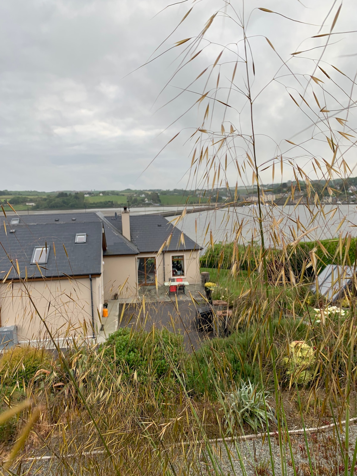 Man-made underground passage in LisnagoorneenMan-made underground passage · 1240 yd
 Church in BallyvoddyChurch · 1759 yd
 Carrigdownane Castle (in Ruins)Castle, Anglo-Norman masonry castle · 1.7 mi
 Flat cemetery in Ballyenahan NorthFlat cemetery · 1.8 mi
 Derryvillane Castle (in Ruins)Castle, unclassified · 1.9 mi
 Anne's Grove GardensHeritage attraction · 1.9 mi
 Horse Field WoodForest · 2.8 mi
 North Meadow WoodForest · 2.8 mi
 Graveyard in BoherashGraveyard · 3.5 mi
 St Dominick's WellSpring · 3.6 mi