What is recorded here
Fairy fort in Ballynaguila, County Limerick: a 30m earthen ring now mostly levelled, but a scarped arc still runs southwest to northwest under pasture. The fort faced west, sloped gently inward, and stood clipped by a field boundary on the 1923 map before that line disappeared. It may have been a home, a boundary marker, or a place people avoided at dusk; the earth kept its shape long enough to refuse forgetting.
In pasture, on W-facing slope. Monument, depicted as circular embanked enclosure (diam. c. 30m) clipped at S end by E-W field boundary on 1923 OS 6-inch map, has been levelled and field boundary removed. However, arc of scarped edge (H 0.3m; Wth 3.4m) survives SW->NW (diam. 30m) along line of enclosing element. Interior, under pasture, slopes down gently to W.
Compiled by: Denis Power
Date of upload: 26 August 2011
The monument record does not grant public access. Check the route and ask the landowner before entering private land.
- What survives
- Recorded monument
Places near here
 Lissamota CastleCastle · 1590 yd
 Burial Gd. for ChildrenChildren's burial ground · 1641 yd
 Flat cemetery in Kiltenan SouthFlat cemetery · 1.3 mi
 Fulacht fia in FinniterstownFulacht fia · 1.3 mi
 Kiln in Kiltenan SouthKiln · 1.4 mi
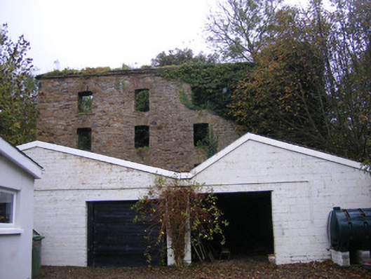 mill (water)mill (water) · 1.5 mi
 Castle (in ruins)Castle, tower house · 1.7 mi
 Famine stoneMemorial · 2.4 mi
 Kinnoor WellSpring · 2.6 mi
 KnockfeerinaMountain / peak · 2.8 mi
 Dysert AenghusaHeritage attraction · 4.3 mi
 GinkgoGinkgo · 4.6 mi