What is recorded here
Fairy forts are misnamed. They are human ringforts, often farmsteads or ritual marks, later covered in fantasy because people stopped remembering the hands that built them. In Ballynagappagh that hands-and-soil work has been ploughed into a gentle slope, joined by larger enclosure shadows nearby. What remains is a region of buried edges: a circle wide enough for a household, a bank thin enough for forgetting, and a landscape that keeps dropping its own history under potato drills.
On a very gentle S-facing tillage slope, with two enclosures (KD014-003---- and KD014-004----) immediately to the SE and a third, very large enclosure (KD014-009----) immediately to the N. Described in 1985 as 'a circular platform (diam. 17m; H c. 1m) with traces of a bank at the S and W' (SMR file). The site has subsequently been ploughed out, and while deep potato drills run E-W across the monument, some sub-surface remains may survive intact. (CUCAP AVO 83; AVR 9. 1968).
Compiled by: Gearóid Conroy
Date of upload: 10 June 2011
The monument record does not grant public access. Check the route and ask the landowner before entering private land.
- What survives
- Recorded monument
Places near here
 Enclosure in Ballynagappagh (clane Ed)Enclosure · 260 yd
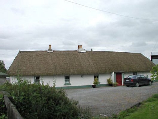 farm housefarm house · 976 yd
 Loughanure MoatEnclosure · 1038 yd
 Queen Buans GraveCastle, motte and bailey · 1617 yd
 Burial GroundRuins · 1699 yd
 1798 Rebellion MemorialMemorial · 1.2 mi
 CastleCastle, tower house · 1.3 mi
 Venerable Fr John Sullivan MemorialMemorial · 1.4 mi
 Grand Canal WayWalking route · 1.8 mi
 Dunne's IslandWood · 1.9 mi
 The Kildare MazeHeritage attraction · 2.2 mi
 Loughtown CovertWood · 2.5 mi