What is recorded here
Two concentric earthen banks enclose a circular space nearly twenty-nine metres across, perched atop a ridge in Ballynacourty with panoramic views over the surrounding countryside. The outer bank rises more than two metres at its best northern point, while gaps at the southeast and south suggest deliberate entrances rather than decay. Mature trees now shade the interior, softening the sharp edges of a structure that likely watched this landscape for centuries before becoming a quiet fixture in local memory.
In pasture, atop ridge with panoramic views over surrounding countryside. Circular area (28.9m N-S; 29m E-W) enclosed by two concentric earthen banks, with intervening fosse (Wth 2.2m). Inner bank (int. H 0.7m; ext. H 1.15m), best preserved NW->E, becomes scarp-like E->S. Outer bank (int. H 2.1m; ext. H 0.9m) best preserved at N. Gaps in outer bank at SE (Wth 2.1m) and S (Wth 1m). Interior, covered by mature deciduous trees, slopes down gently to S.
Compiled by: Denis Power
Date of upload: 26 August 2011
The monument record does not grant public access. Check the route and ask the landowner before entering private land.
- What survives
- Recorded monument
Places near here
 schoolschool · 827 yd
 Prospect Househouse · 864 yd
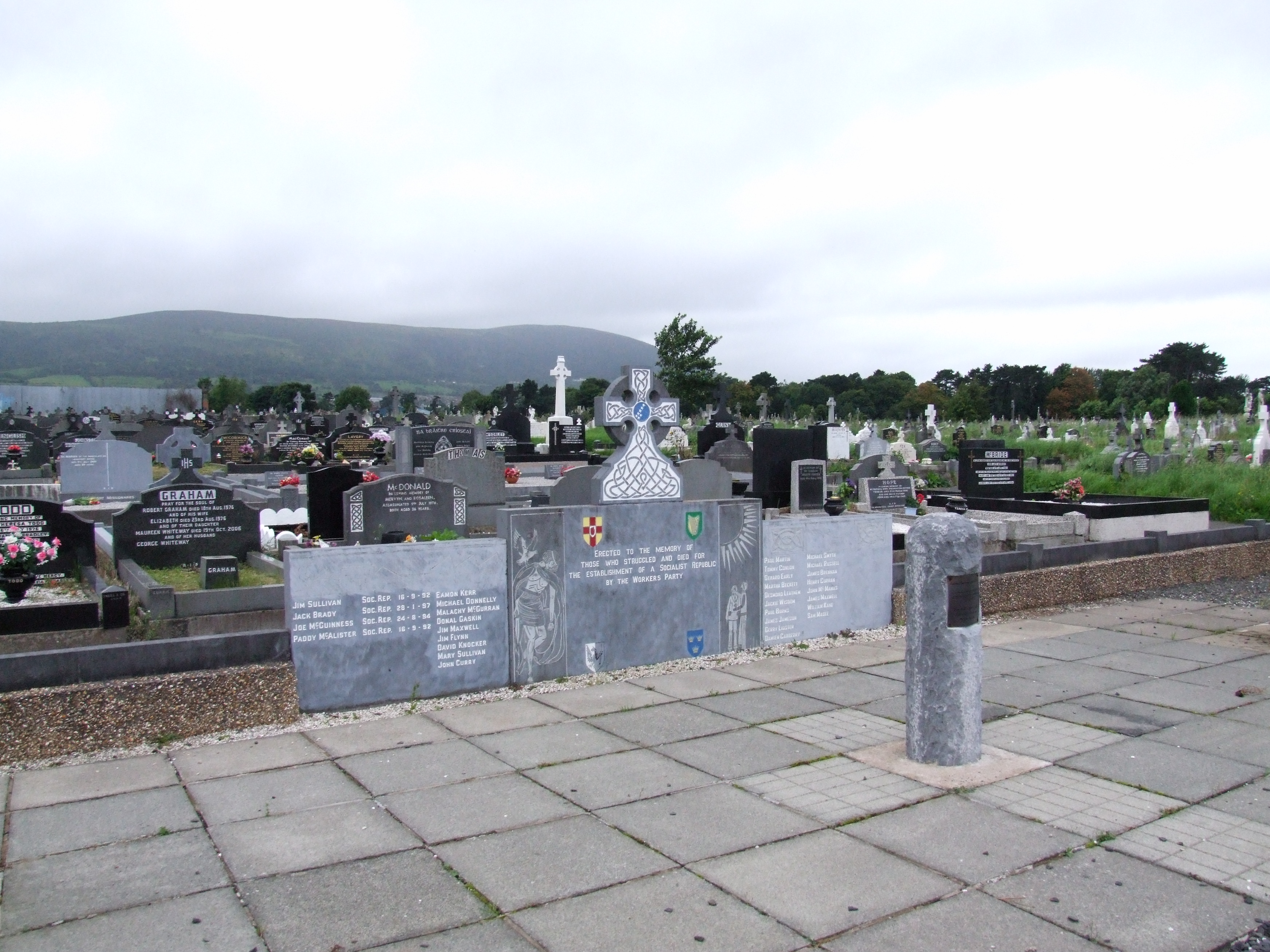 (Site of) Grave YardBurial ground · 1007 yd
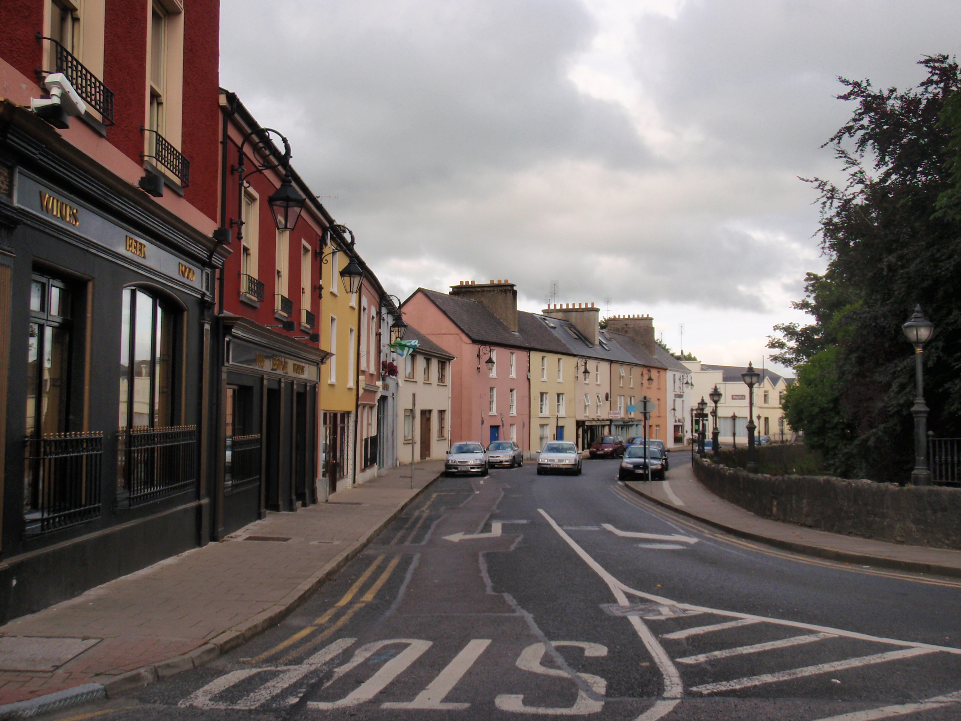 IndicatedFairy fort / earthen ringfort · 1508 yd
 Bawn in Castletown (kenry By.)Bawn · 1.4 mi
 CastleCastle, tower house · 1.4 mi
 Ringmoylan PierVisitor information · 2.8 mi
 Courtbrown PointHeadland · 2.9 mi
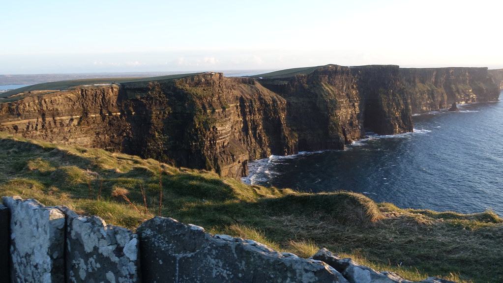 Conor's RockNamed rock · 3.0 mi
 Greenish IslandIslet · 3.1 mi
 Shannon Airport Aviation GalleryMuseum · 3.4 mi
 Askeaton CastleHeritage attraction · 3.5 mi