What is recorded here
Ballynacarriga once held a twenty-metre earthen ring, visible on the 1841 map but erased from the land. The former national school probably stands where the bank circled, turning ancient boundary into classroom floor. Children may have run around a fairy fort without knowing its name, while adults forgot the shape beneath their feet.
Monument, depicted on 1841 OS 6-inch map as embanked circular enclosure (diam. c. 20m), is no longer evident. The former Ballynacarriga National School, now converted into private dwelling, probably stands on site of enclosure.
Compiled by: Denis Power
Date of upload: 26 August 2011
The monument record does not grant public access. Check the route and ask the landowner before entering private land.
- What survives
- Recorded monument
Places near here
 schoolschool · 161 yd
 Enclosure in BallynacarrigaEnclosure · 499 yd
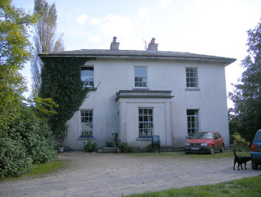 Rockfield Housecountry house · 674 yd
 Grave YardGraveyard · 1496 yd
 Castle (in ruins)Castle, tower house · 1.1 mi
 Dromore CastleRuins · 1.1 mi
 Rinekirk PointHeadland · 1.5 mi
 Grass IslandIslet · 1.8 mi
 Maiden RockNamed rock · 1.8 mi
 Sweet ChestnutSweet Chestnut · 2.1 mi
 Celtic Park and GardensHeritage attraction · 2.9 mi
 Ringmoylan PierVisitor information · 3.0 mi