What is recorded here
Fairy fort in Ballynacarriga, County Limerick: a circular earthwork about nineteen metres across, set atop a hill with panoramic views. Its scarped edge rises two metres on the northern arc and drops to one metre east, while a shallow fosse runs outside, marked by a band of nettles. Briars and nettles still mask the interior, which slopes downward to the east. The shape suggests people lived or worked there before the land became pasture, but no name, date or event is recorded for the place.
In pasture, atop hill with panoramic views. Circular area (18.6m N-S; 19.8m E-W) defined by scarped edge with external fosse (Wth 1.2m; D 0.3m). Scarp (H 2.2m; Wth 5m), best preserved along N arc, lowers at E (H 1.1m; Wth 3.35m). Fosse, best preserved at SW, is accentuated by band of nettles growing along base. Interior, masked by briars and nettles, slopes down to E.
Compiled by: Denis Power
Date of upload: 26 August 2011
See attached ASI aerial photographs ASIAP – taken on 04/03/2006.
The monument record does not grant public access. Check the route and ask the landowner before entering private land.
- What survives
- Recorded monument
Places near here
 schoolschool · 354 yd
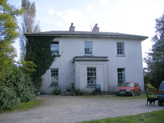 Rockfield Housecountry house · 394 yd
 Enclosure in BallynacarrigaEnclosure · 566 yd
 Grave YardGraveyard · 1040 yd
 Castle (in ruins)Castle, tower house · 1.1 mi
 Shanpallas CastleCastle · 1.1 mi
 Rinekirk PointHeadland · 1.3 mi
 Grass IslandIslet · 1.6 mi
 Maiden RockNamed rock · 1.6 mi
 Sweet ChestnutSweet Chestnut · 1.9 mi
 Ringmoylan PierVisitor information · 2.8 mi
 Celtic Park and GardensHeritage attraction · 3.1 mi