What is recorded here
Fairy fort in Ballynacarhagh: earthen ringfort, 36 by 31 metres, on a Clare ridge visible north and south. Its earth and stone edge still stands about a metre high on the east and south, while the rest has flattened into pasture. A line of upright limestone lies just outside the south edge, perhaps a broken facing rather than a boundary. People may have lived, herded or marked ceremony there before the field swallowed the shape.
On top of a prominent E-W running ridge in reclaimed pasture with good views to the N and S. Hachured on the 1840 and 1916 OS 6-inch maps. Listed as ‘earthwork’ in the RMP (1996).
A subcircular rath (dims. 36m E-W; 31m N-S) defined by an earth and stone scarp, best preserved between E (H 0.8m) and S (H c. 1.1m) but almost eroded to ground level elsewhere. At a distance of 3.3m from the S edge, a length of limestone uprights (L 4.2m; H 0.25m) may be the remains of a stone-facing; further boulders are visible around the perimeter between E and SE. The interior rises in the centre. A WNW-ESE running field boundary lies immediately to its SW.
Compiled by: Olive Alcock and Lynda McCormack
Date of upload: 9 May 2022
A subcircular earthen ringfort (fairy fort) in Ballynacarhagh, likely dating to the early medieval period, with dimensions of 36m E-W and 31m. It is associated with local folklore referring to it as a "fairy fort," reflecting the common Irish tradition linking such sites to supernatural beings.
The monument record does not grant public access. Check the route and ask the landowner before entering private land.
- What survives
- Recorded monument
Places near here
 Saint Attracta's Catholic Churchchurch/chapel · 930 yd
 Kiltonaghty Church (in ruins)Church · 969 yd
 Enclosure in Clogher (corcomroe By.)Enclosure · 1452 yd
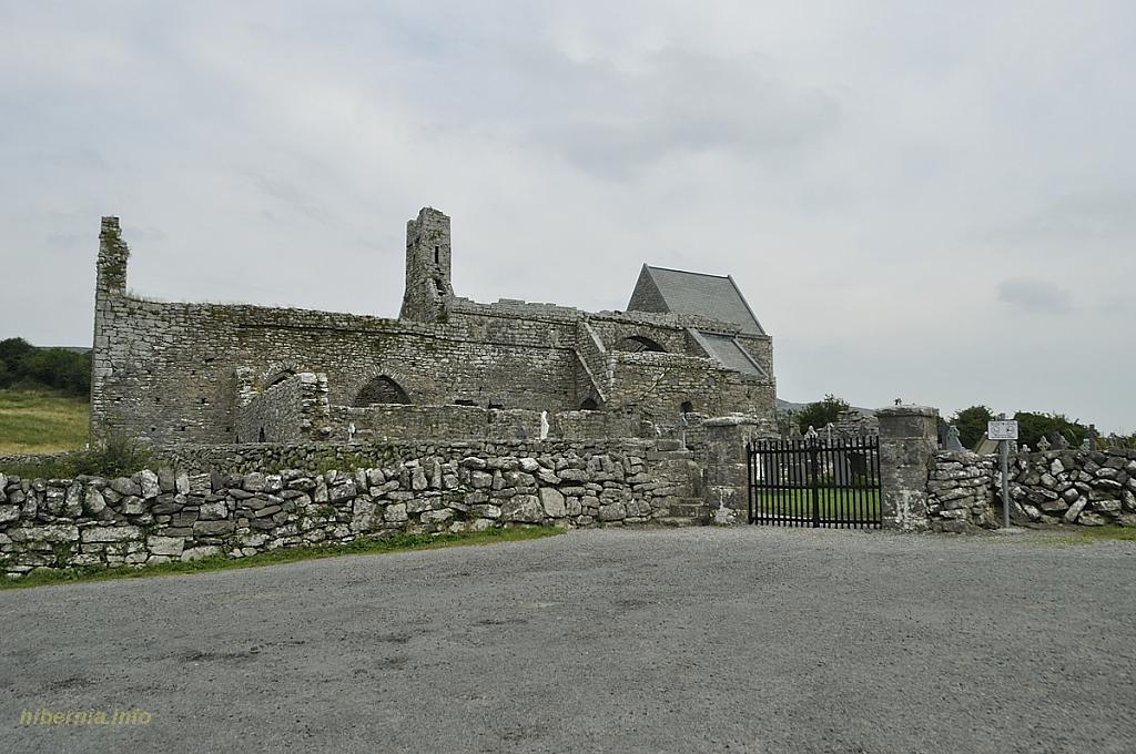 Knockaunacurra FortFairy fort / ringfort · 1528 yd
 Inchovea Castle (in ruins)Castle, unclassified · 1646 yd
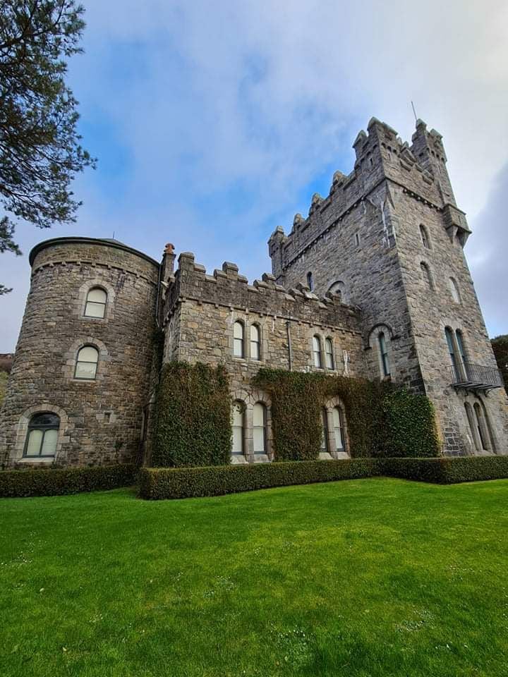 Tullagh Castle (in ruins)Castle, unclassified · 1.0 mi
 Burren Centre KilfenoraVisitor information · 2.3 mi
 High CrossHeritage attraction · 2.4 mi
 Fergus River CaveCave · 2.5 mi
 Inchiquin IslandIslet · 3.8 mi
 Rock IslandIsland · 3.9 mi
 Farbrega RockNamed rock · 4.1 mi