
What is recorded here
On a gentle rise in undulating cleared and drained low-lying pasture to the W of a stream; there are large forestry plantations to the S and W. Hachured on the 1916 ed. of the OS 6-inch map. A subrectangular enclosure (29m E-W; Wth 28m N-S) defined by a scarp (H 1m) which is best preserved along the NE corner and at W. At NE traces of the inner edge of an earth and stone bank (Wth 4m; int. H 0.4m) survive. Large stone blocks along the W side suggest that it may have been revetted internally. A gap at E (Wth 6.5m) may mark the original entrance. A possible external fosse (Wth 5.5m; D 0.2m) is visible at W. A rectangular annexe (Wth 14m) extends off the site to the E. A levelled field boundary or ditch runs off it to the S, from the SW corner. Superficially the enclosure resembles a moated site.
Compiled by: Olive Alcock and Lynda McCormack
Date of upload: 25 April 2022
The monument record does not grant public access. Check the route and ask the landowner before entering private land.
- What survives
- Recorded monument
Places near here
 Kiltonaghty Church (in ruins)Church · 681 yd
 LisketFairy fort / earthen ringfort · 921 yd
 Knockalish FortFairy fort / earthen ringfort · 1138 yd
 Caherminnaun Castle (in ruins)Castle, unclassified · 1708 yd
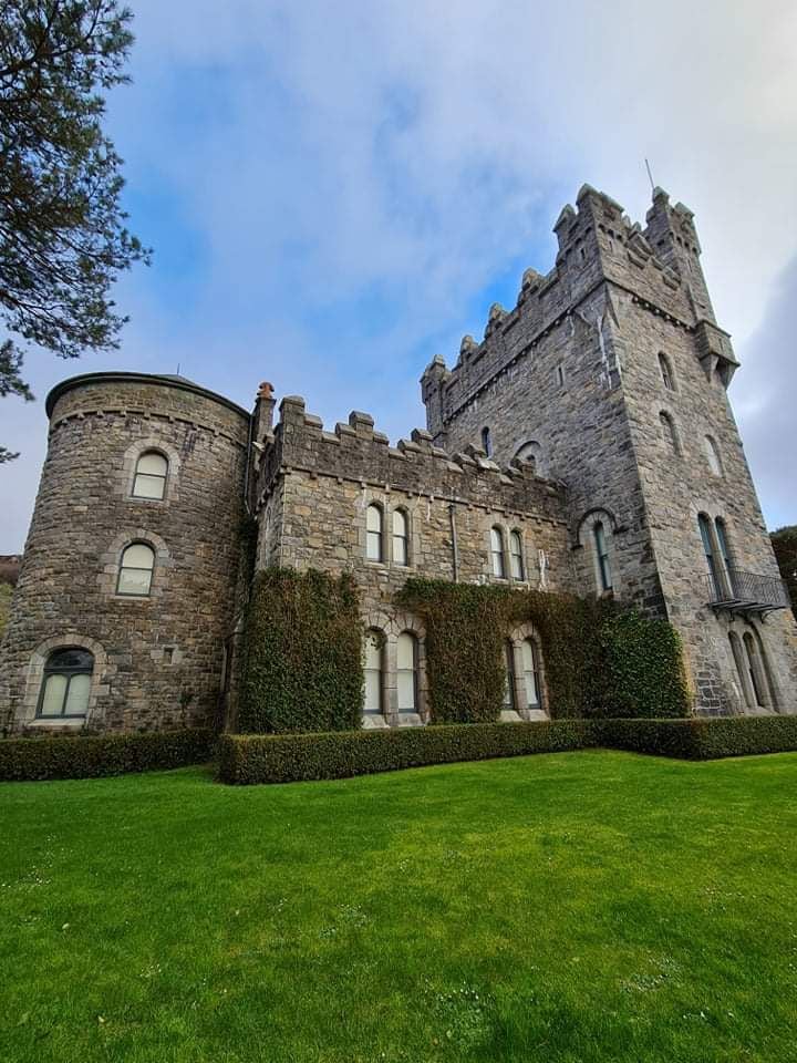 Tullagh Castle (in ruins)Castle, unclassified · 1743 yd
 Hollywell Housefarm house · 1.3 mi
 Burren Centre KilfenoraVisitor information · 1.6 mi
 High CrossHeritage attraction · 1.6 mi
 Fergus River CaveCave · 2.9 mi
 Cave of the Wild HorsesCave · 4.2 mi
 CaherconnellHeritage attraction · 4.6 mi
 Ballyteigue Nature ReserveNature reserve · 4.7 mi
Other information
Photo: Credit not shown in the picture search · Rights wording not checked; contact us if this picture should be removed