What is recorded here
Fairy fort / earthen ringfort in Ballynabanoge, County Limerick, Ireland: In pasture, 20m SE of a townland boundary with Dohora.
In pasture, 20m SE of a townland boundary with Dohora. Depicted on the 1897 ed. OSi 25-inch map as a roughly circular-shaped earthwork (33m E-W; 31m N-S). Described in the SMR file as a banked circular-shaped enclosure with an external ditch. Monument is visible as a roughly circular-shaped tree-planted earthwork on OSi orthophotos taken 2005-2012, on Digital Globe orthophotos taken 2011-2013 and on Google Earth orthoimage taken 28/06/2018.
See attached Google Earth orthoimages taken 28/06/2018
Compiled by: Alison McQueen and Vera Rahilly
Date of upload: 22 October 2020
A fairy fort / earthen ringfort in Ballynabanoge is a circular earthwork enclosure, likely dating to the early medieval period, used as a defensive or domestic settlement. Local folklore, common to many such sites in Ireland, associates it with fairies or other supernatural beings.
The monument record does not grant public access. Check the route and ask the landowner before entering private land.
- What survives
- Recorded monument
Places near here
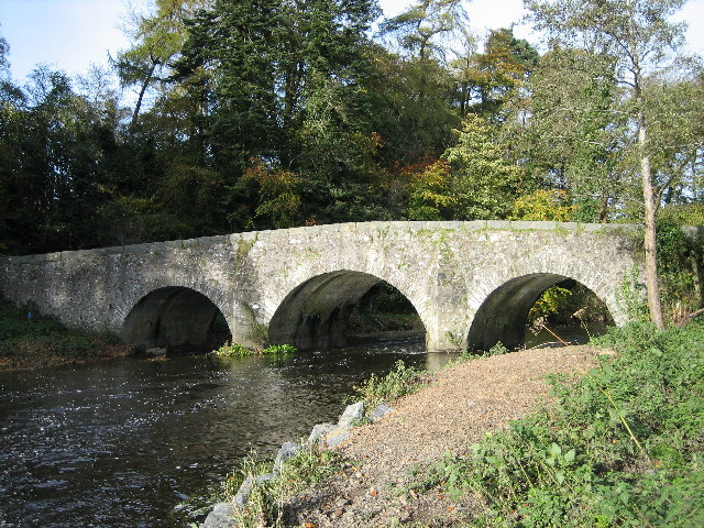 Banoge WellHoly well · 734 yd
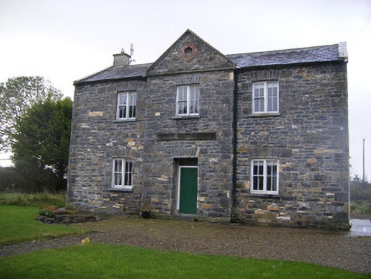 The Old School Houseschool · 747 yd
 Hachured (1924).Enclosure · 762 yd
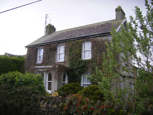 teacher's houseteacher's house · 771 yd
 Castle (in ruins)Castle, unclassified · 1.2 mi
 Bawn in TullovinBawn · 1.8 mi
 European ashEuropean ash · 2.4 mi
 Biodiversity in the Maigue CatchmentVisitor information · 3.0 mi
 Monasteranenagh AbbeyHeritage attraction · 3.3 mi
 Dysert AenghusaHeritage attraction · 3.4 mi
 Kinnoor WellSpring · 3.8 mi
 KnockfeerinaMountain / peak · 4.2 mi