What is recorded here
Fairy fort in Ballymurphy Upper, County Cork, is a vanished earthen ringfort, recorded on the 1842 map as a circular platform forty-five metres wide. It sat on a south-facing slope beside another ringfort, now buried under tillage and memory. The land keeps its shape only in the minds of those who still imagine the fort standing, waiting for people who never returned.
In tillage, on S-facing slope, to SE of ringfort (CO036-024---). Shown on 1842 OS 6-inch map as circular platform (diam. c. 45m). No visible surface trace.
The above description is derived from the published 'Archaeological Inventory of County Cork. Volume 2: East and South Cork' (Dublin: Stationery Office, 1994). In certain instances the entries have been revised and updated in the light of recent research.
Date of upload/revision: 14 January 2009
The monument record does not grant public access. Check the route and ask the landowner before entering private land.
- What survives
- Recorded monument
Places near here
 Country house in Kilmagner (condons and Clongibbon By.)Country house · 1455 yd
 Ballyclough Burial GdGraveyard · 1522 yd
 Moated site in Ballybride UpperMoated site · 1732 yd
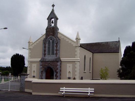 Coolagown Churchchurch/chapel · 1.4 mi
 Natural heritage of CoolagowanVisitor information · 1.6 mi
 Life Space ParkPicnic place · 1.6 mi
 Aghern CastleCastle · 1.6 mi
 Castle (in Ruins)Castle, tower house · 1.9 mi
 Aghern CemeteryWood · 2.0 mi
 Castlebrook forestWood · 3.0 mi
 Graveyard in Curraheen (kinnatalloon By.)Graveyard · 3.4 mi
 Pope's WellSpring · 3.5 mi