What is recorded here
Fairy fort in Ballymurphy Upper is a broken earthen ring, forty metres wide on a north-facing slope, half swallowed by tillage and half pretending still to be a fence. People may have lived inside it before the field took it back, drawing a line through the middle and calling the remainder boundary. The fairies kept the rest, perhaps, or the story gave the shape a name because no human claim remained complete enough to remember.
In tillage, on N-facing slope. Circular area (40m N-S; 42m E-W) enclosed by earthen bank (H 0.5m), now forming field fence SW->NE; low arc of levelled bank NE->SW.
The above description is derived from the published 'Archaeological Inventory of County Cork. Volume 2: East and South Cork' (Dublin: Stationery Office, 1994). In certain instances the entries have been revised and updated in the light of recent research.
Date of upload/revision: 14 January 2009
The monument record does not grant public access. Check the route and ask the landowner before entering private land.
- What survives
- Recorded monument
Places near here
 Country house in Kilmagner (condons and Clongibbon By.)Country house · 1322 yd
 Ballyclough Burial GdGraveyard · 1394 yd
 Moated site in Ballybride UpperMoated site · 1.0 mi
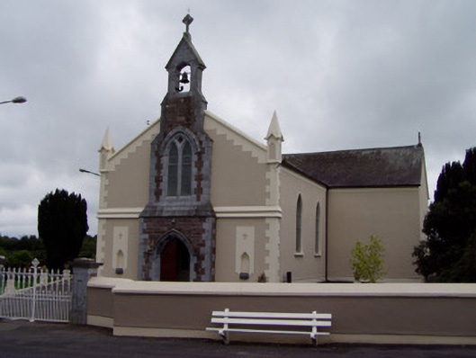 Coolagown Churchchurch/chapel · 1.4 mi
 Natural heritage of CoolagowanVisitor information · 1.5 mi
 Life Space ParkPicnic place · 1.5 mi
 Aghern CastleCastle · 1.7 mi
 Castle (in Ruins)Castle, tower house · 1.9 mi
 Aghern CemeteryWood · 2.0 mi
 Castlebrook forestWood · 3.1 mi
 Graveyard in Curraheen (kinnatalloon By.)Graveyard · 3.5 mi
 Pope's WellSpring · 3.5 mi