What is recorded here
Fairy forts are not the work of fairies. They are human ringforts, often farmed or damaged after abandonment. The fairy name comes later. It appears when the real use is forgotten. A round bank and ditch stop being a home, field or boundary. They become a hole in the world where the rules no longer apply. Ballymongaun is one of them. A human place, renamed by wonder.
In level pasture. Circular area (35m N-S; 33m E-W) enclosed by earthen bank (int. H 0.4m; ext. H 1.55m) with external fosse (D 1.4m; Wth 1.6m). Gap in bank (Wth 1.5m) at NNE, but no causeway over fosse here. Interior marshy and heavily masked by overgrowth. Earthen field boundary (H 0.3m) crosses enclosing element and interior on NW-SE axis; boundary continues SE of enclosure but has been removed on NW side.
Compiled by: Denis Power
Date of upload: 26 August 2011
This remains an important historical record, but the official description says the monument is no longer visible or has been destroyed. The monument record does not grant public access. Check the route and ask the landowner before entering private land.
- What survives
- No visible remains or recorded as destroyed
Places near here
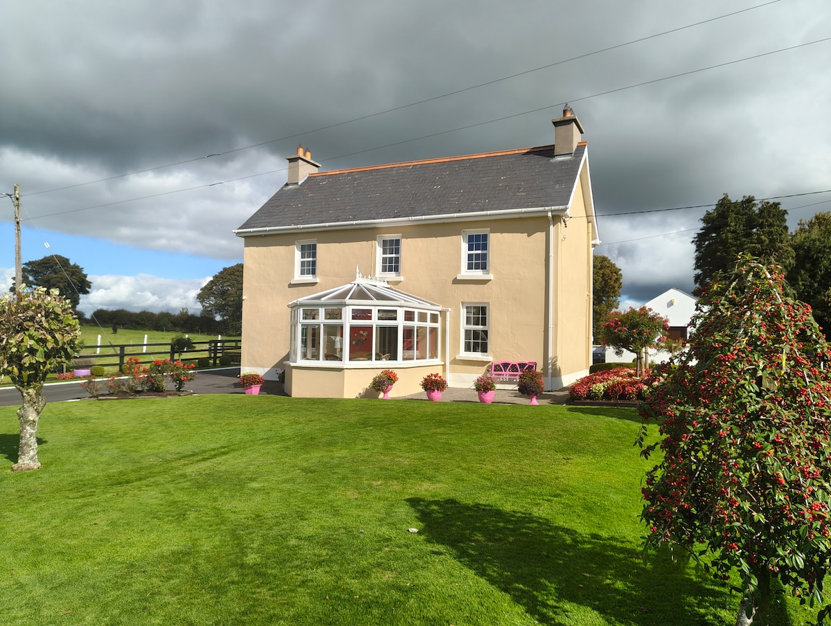 Enclosure in Gardenfield EastEnclosure · 692 yd
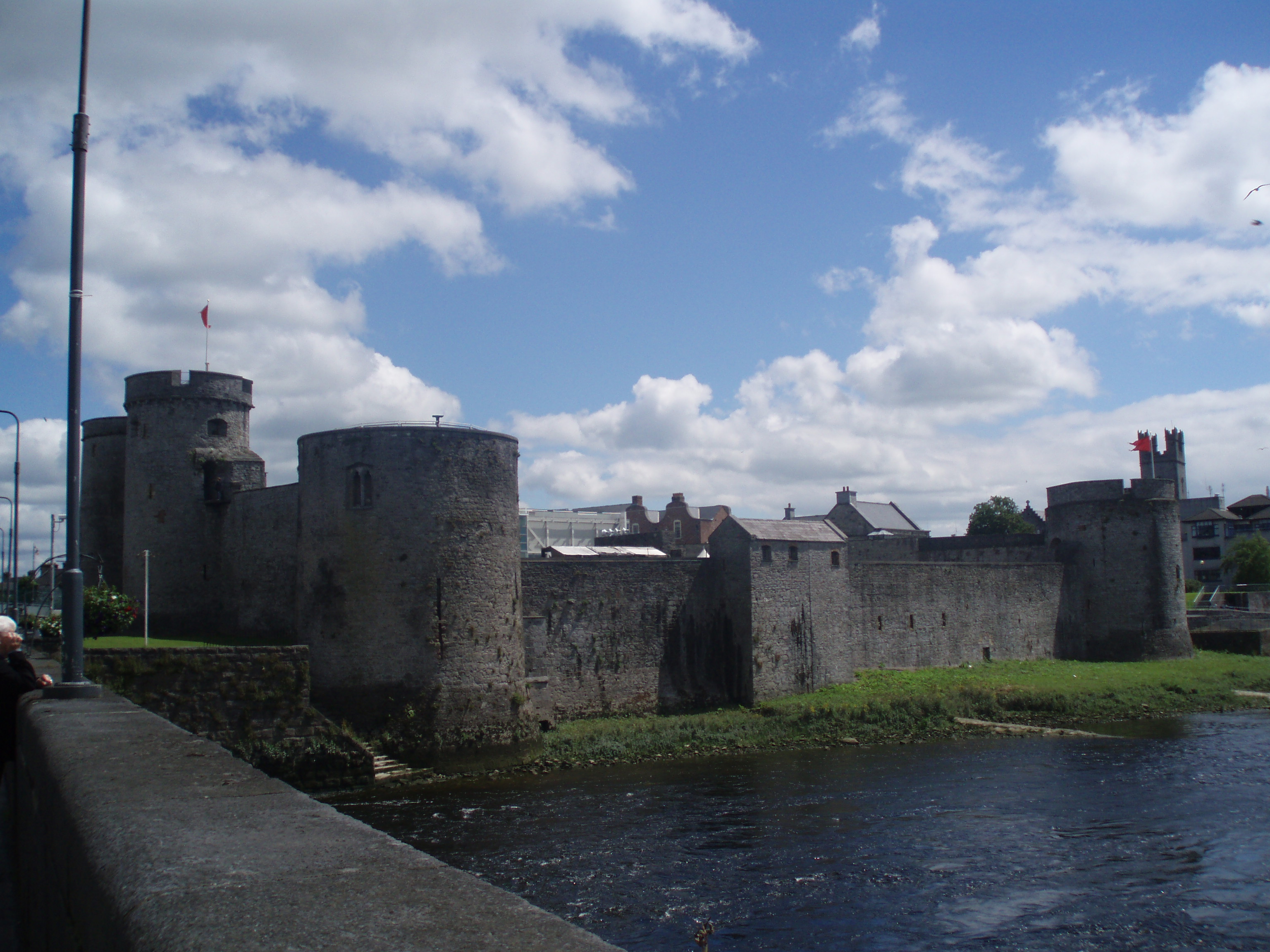 Cloncrew Fort - HachuredFairy fort / earthen ringfort · 757 yd
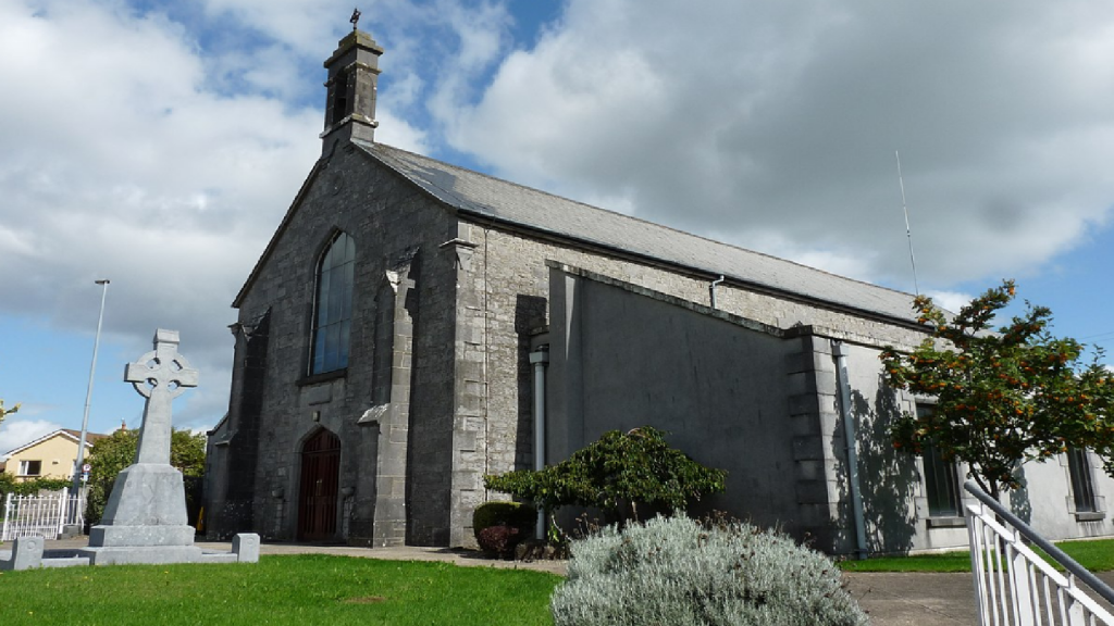 Cloncrew Church (in ruins)Church · 786 yd
 ToberacappeenSpring · 1362 yd
 CastleCastle, unclassified · 1399 yd
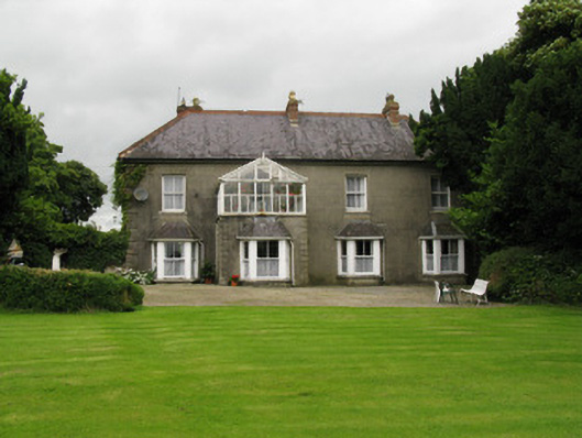 Highmount Housefarm house, house · 1.1 mi
 National Co-op MuseumMuseum · 1.8 mi
 Castle (in Ruins)Castle, Anglo-Norman masonry castle · 2.2 mi
 ToberhoranSpring · 2.5 mi
 Battle of LiscarrollMajor battlefield · 7.7 mi
 Mullaghareirk - Banane LoopWalking route · 7.9 mi
 Ballagh MountainMountain / peak · 8.3 mi