What is recorded here
Farmer's children skipped rope around the fort at dusk, treating the hidden ring as a game rather than a grave. They ran until breathless, laughing at the pretend danger, while the land kept its own secret beneath the soil.
In tillage, atop rise. Depicted on 1842 OS 6-inch map as hachured roughly circular area; on 1906 and 1937 OS 6-inch maps as arc N->SE incorporated into field fence system, with circle completed by fosse SE->N on 1937 OS 6-inch map. Levelled; no visible surface trace of site. Circular enclosure visible in aerial photograph (GSIAP, R689) as cropmark of bank; subcircular enclosure visible in aerial photograph (CASAP) as cropmark of fosse. Field system (CO017-07204-), circular enclosure (CO017-07203-) and enclosure (CO017-07202-) in same field.
The above description is derived from the published 'Archaeological Inventory of County Cork. Volume 4: North Cork' (Dublin: Stationery Office, 2000). In certain instances the entries have been revised and updated in the light of recent research.
Date of upload/revision: 14 January 2009
A fairy fort or earthen ringfort in Ballymee, likely dating to the early medieval period, is indicated by its circular earthwork and historical map depictions. It is associated with local folklore surrounding fairy activity, common in such sites across Ireland.
The monument record does not grant public access. Check the route and ask the landowner before entering private land.
- What survives
- Recorded monument
Places near here
 Field system in BallymeeField system · 7 yd
 CastleCastle, unclassified · 457 yd
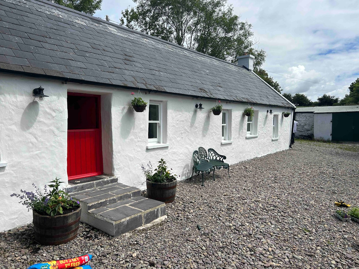 Cahermee HouseCountry house · 460 yd
 Ducks WellHoly well · 591 yd
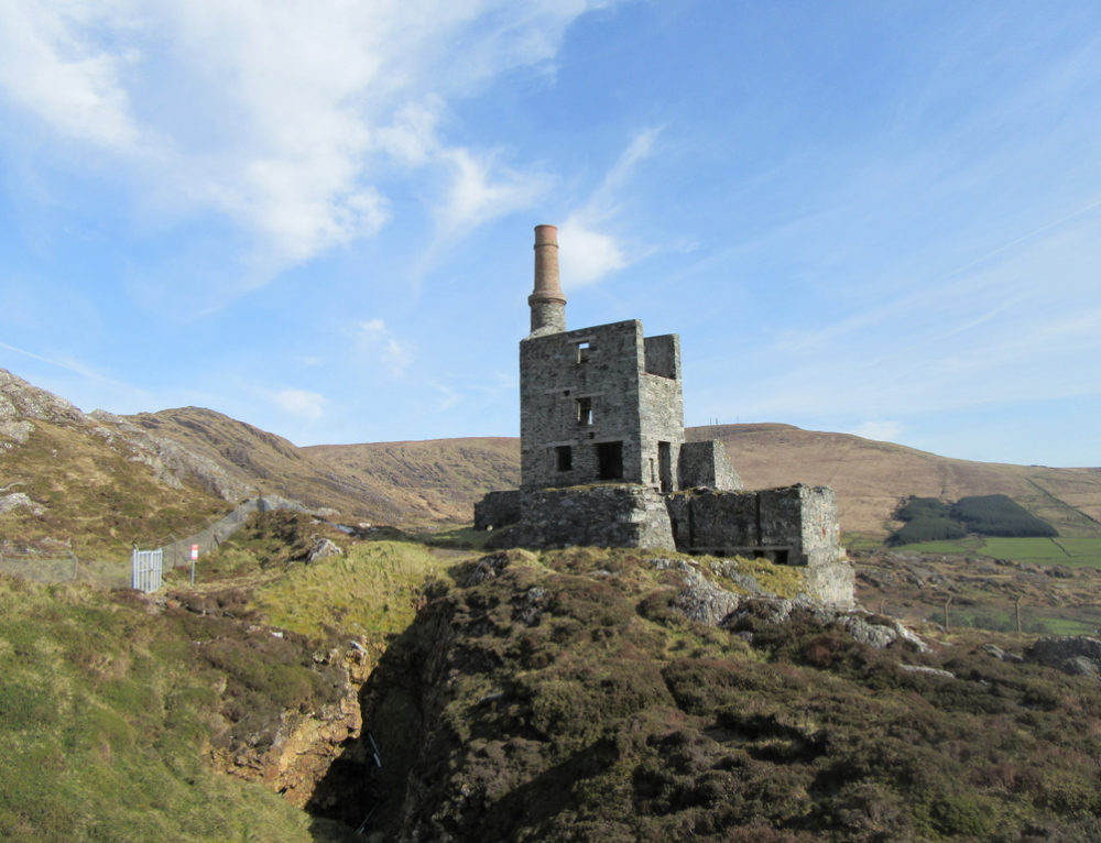 Quarry in CahermeeQuarry · 834 yd
 Smith's WellSpring · 1.3 mi
 Doneraile Castle (Site of)Castle, unclassified · 1.6 mi
 Doneraile HouseHeritage attraction · 1.6 mi
 Sweet ChestnutSweet Chestnut · 1.8 mi
 European YewEuropean Yew · 1.8 mi
 Charles BunworthMemorial · 2.1 mi
 David HurleyMemorial · 2.2 mi