What is recorded here
Fairy fort in Ballymaurice, County Longford: a ringfort on a low hill, marked ‘Fort’ on the 1837 OS map, now hidden beneath soil and grass yet still readable as a circular shadow in cropmarks above. People may have lived there, tended fires, and forgotten it; the land kept the shape anyway.
On the summit of a low hill. Depicted as a circular enclosure with the designation 'Fort' on the 1837 ed. of the OS 6-inch map. The monument is not visible at ground level but its outline is evident as a cropmark on an aerial photograph (SMR file).
Compiled by: Patrick F. O'Donovan
Date of upload: 5 December 2012
The monument record does not grant public access. Check the route and ask the landowner before entering private land.
- What survives
- Recorded monument
Places near here
 BarrowBarrow, bowl-barrow · 372 yd
 Enclosure in BallymauriceEnclosure · 894 yd
 gates/railings/wallsgates/railings/walls · 1425 yd
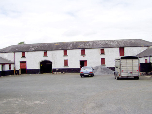 Toneen Lodgeoutbuilding · 1543 yd
 Moat of GranardCastle, motte and bailey · 1.2 mi
 CastleCastle, unclassified · 1.2 mi
 Granard MotteMotte-and-bailey castle remains · 1.2 mi
 1798 Monumentmonument · 1.2 mi
 Clonfin Ambush MemorialMemorial · 3.8 mi
 CartronfreeMountain / peak · 4.0 mi
 Cloonfin WoodForest · 4.4 mi
 CarrickabaneMountain / peak · 4.7 mi