What is recorded here
No human has broken the twin banks of Ballymartin, though they circle like a living thing and resist every cart in County Limerick. The fort stands above ordinary pasture, facing the wide horizon instead of hiding in it. What it refused to reveal may still be waiting for someone honest enough to ask.
In rough pasture, atop hill with panoramic views. Sub-circular area (37.5m N-S; 34m E-W) enclosed by two concentric earthen banks, with intervening (Wth 1.35m) and external fosse. Inner bank (int. H 0.75m; ext. H 0.9m), best preserved ENE->SW, becomes scarp-like SW->NW (H 1.05m; Wth 5.5m). Outer bank (int. H 1.1m), best preserved ENE->SW where incorporated into field boundary, much denuded NW->ENE (int. H 0.1m; ext. H 0.55m). Intervening fosse heavily masked by overgrowth ENE->SW. Outer fosse (D 0.05m; Wth 1.3m) barely perceptible NW->ENE, not evident elsewhere. Interior, under rough pasture, slopes down gently to NW.
Compiled by: Denis Power
Date of upload: 26 August 2011
The monument record does not grant public access. Check the route and ask the landowner before entering private land.
- What survives
- Recorded monument
Places near here
 CastleCastle, tower house · 1102 yd
 Bawn in Castletown (kenry By.)Bawn · 1377 yd
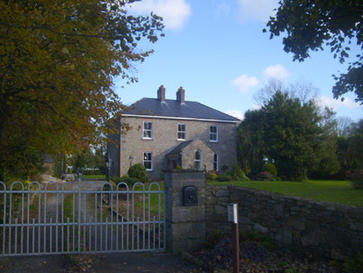 Dromaher Househouse · 1396 yd
 Old Wind MillWindmill · 1493 yd
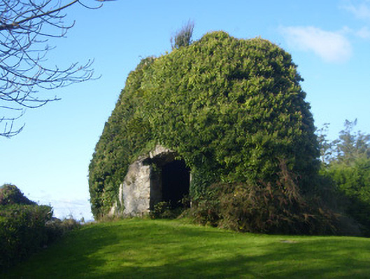 mill (wind)mill (wind) · 1506 yd
 Grave Yd.Graveyard · 1722 yd
 Ringmoylan PierVisitor information · 1759 yd
 Sweet ChestnutSweet Chestnut · 1.2 mi
 Horse RockNamed rock · 1.4 mi
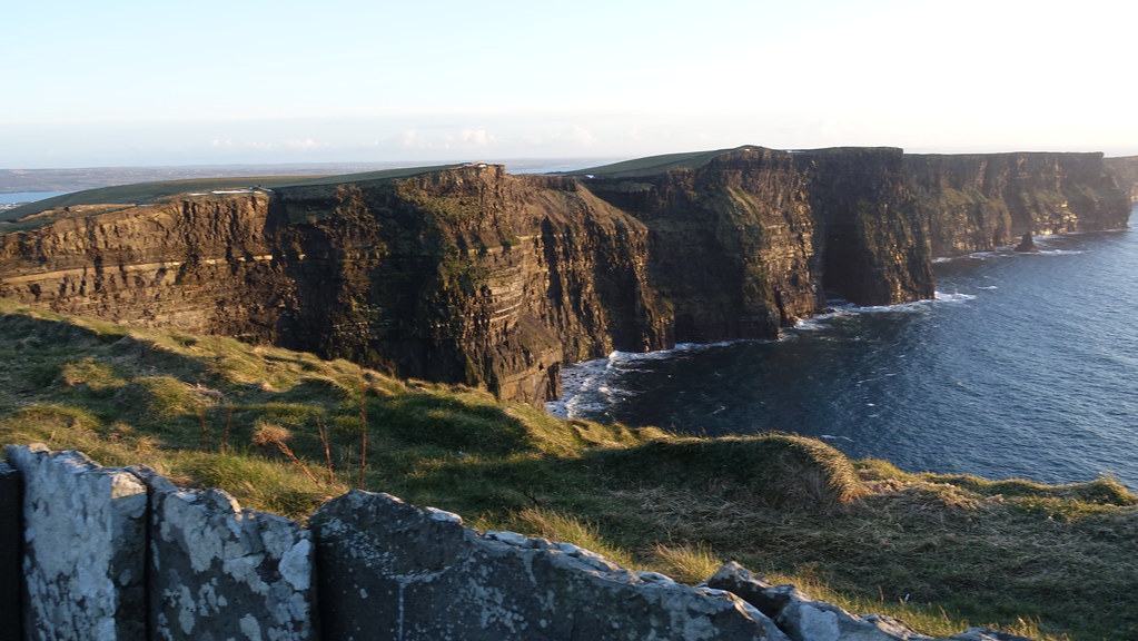 Conor's RockNamed rock · 1.9 mi
 Shannon Airport Aviation GalleryMuseum · 2.7 mi
 Stonehall Visitor FarmHeritage attraction · 3.6 mi