What is recorded here
No. The supplied facts contradict the requested Ballymanagh, Longford place. They describe County Galway. I will not invent the missing Longford story or mislabel the Galway evidence.
In gently rolling pastureland, c. 25m E of a stream. Poorly preserved almost circular rath (25m N-S; 24m E-W) defined by two banks and an intervening fosse. The mainly earthen inner bank is visible from N through S to NW and is stone-faced internally. From NW to N a scarp forms the
enclosing element. The fosse and outer bank are visible all round and more stone is evident in the make up of the outer bank. A gap (Wth c. 4m) in the inner bank at S and a corresponding causeway across the fosse may be modern as there is no corresponding gap in the outer bank.
Compiled by: Galway Archaeological Survey, UCG
Date of upload: 3 January 2017
The monument record does not grant public access. Check the route and ask the landowner before entering private land.
- What survives
- Recorded monument
Places near here
 IndicatedHouse, vernacular house · 752 yd
 Enclosure in Ballymanagh (longford By.)Enclosure · 765 yd
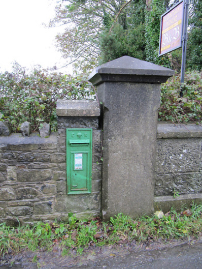 post boxpost box · 1029 yd
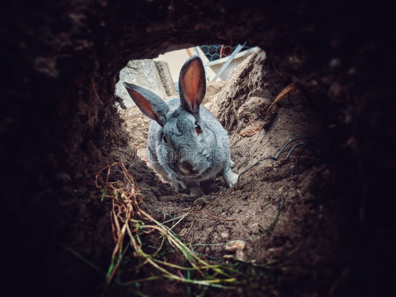 Rabbit BurrowFairy fort / earthen ringfort · 1173 yd
 Oghil Castle (in ruins)Castle, tower house · 1.6 mi
 European BeechEuropean Beech · 1.8 mi
 European YewEuropean Yew · 2.0 mi
 Ballagh Castle (in Ruins)Castle, unclassified · 2.6 mi
 Ardcarn IslandsIslet · 2.6 mi
 Urraghry HillMountain / peak · 3.8 mi
 Redmond HillMountain / peak · 4.1 mi
 The bloody HollowHeritage attraction · 4.3 mi