What is recorded here
Fairy forts are often demolished when discovered, as if human hands cannot resist deleting the evidence. Ballymakeery followed that pattern. The circular earthwork vanished despite appearing on the 1923 map, leaving behind a smooth pasture slope and a warning about how quickly the extraordinary can be erased.
In pasture, on steep NE-facing slope. Monument, depicted in 1923 OS 6-inch map as roughly circular enclosure (diam. c. 20m), has been levelled. No trace of monument evident when inspected.
Compiled by: Denis Power
Date of upload: 26 August 2011
The monument record does not grant public access. Check the route and ask the landowner before entering private land.
- What survives
- Recorded monument
Places near here
 Castle (in ruins)Castle, tower house · 770 yd
 Mound in KnockbweeheenMound · 1172 yd
 Kilcolman Church (in ruins)Church · 1383 yd
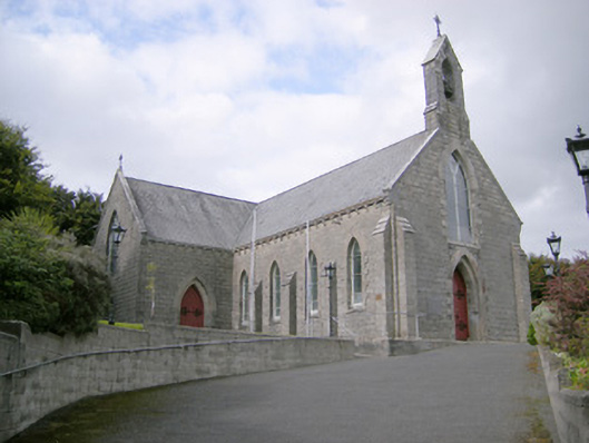 Saint Colman's Catholic Churchchurch/chapel · 1454 yd
 Lisnagreeve - Hachured (1923Fairy fort / earthen ringfort · 1507 yd
 CahermoyleCastle, unclassified · 1.4 mi
 St. Luke's WellSpring · 1.5 mi
 St. Kieran's WellSpring · 2.8 mi
 European ashEuropean ash · 5.4 mi
 Limerick GreenwayWalking route · 5.7 mi
 Monterey CypressMonterey Cypress · 6.5 mi
 Gammarel PointHeadland · 6.5 mi