What is recorded here
Situated on a slight S-facing slope down to low sea-cliffs and a beach. The cropmark of a circular enclosure (diam. c. 50m) defined by a single fosse feature is visible on aerial photographs (CUCAP, ALS 64, BDI 81 2, BGF 79 81). It is described locally as a ringfort which was removed c. 1960. It is not visible at ground level in a tilled field. It is also visible on aerial photographs (ASIAP (2) 34-36; (3) 2, 3, 5, 6) and the OSI series of aerial photographs (2000), and is even visible on Google Earth (2011). Rath (WX045-054001-) lies c. 200m to the WSW, and rath (WX045-054003-) is c. 120m. to the SE.
The above description is derived from the published 'Archaeological Inventory of County Wexford' (Dublin: Stationery Office, 1996). In certain instances the entries have been revised and updated in the light of recent research.
Compiled by: Michael Moore
Date of upload/revision: 25 July 2013
The monument record does not grant public access. Check the route and ask the landowner before entering private land.
- What survives
- Recorded monument
Places near here
 Ballymadder PointHeadland · 308 yd
 Blackhall StrandBeach / strand · 858 yd
 Enclosure in Grange (bargy By., Bannow Ed)Enclosure · 1002 yd
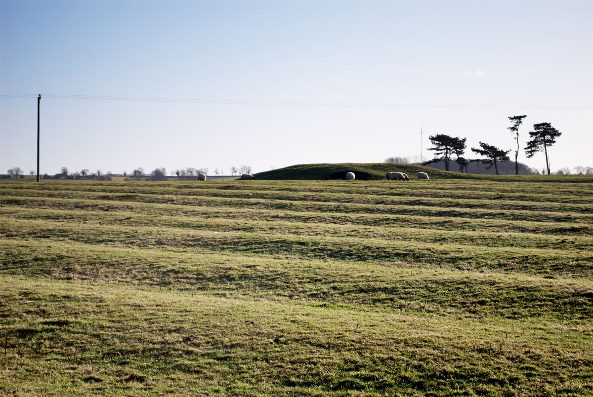 Field system in Graigue (bargy By., Bannow Ed)Field system · 1005 yd
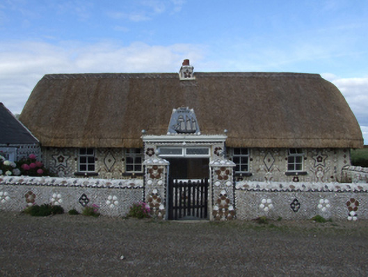 Cliff Cottagefarm house · 1178 yd
 handball alleyhandball alley · 1265 yd
 Cullenstown StrandBeach / strand · 1356 yd
 Bridges ChamberCave · 1376 yd
 IndicatedCastle, tower house · 1.0 mi
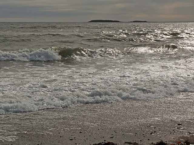 Keeragh IslandsIsland · 1.1 mi
 1798 MemorialMemorial · 1.6 mi
 Carrig-On-BannowVisitor information · 1.7 mi