What is recorded here
Located on a gently rolling landscape. The faint cropmark of a circular area (diam. c. 30m) defined by a faint fosse or ditch is visible on aerial photograph (CUCAP, BDJ 3). Elements of the field system (WX048-024----) appear to be connected with its perimeter. It is not visible at ground level in pasture. The rath (WX048-024001-) is c. 200m to the W.
The above description is derived from the published 'Archaeological Inventory of County Wexford' (Dublin: Stationery Office, 1996). In certain instances the entries have been revised and updated in the light of recent research.
Compiled by: Michael Moore
Date of upload/revision: 3 January 2014
The monument record does not grant public access. Check the route and ask the landowner before entering private land.
- What survives
- Recorded monument
Places near here
 Field system in BallymacushinField system · 55 yd
 Not idicatedFairy fort / earthen ringfort · 255 yd
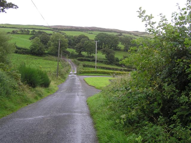 RoadRoad, road/trackway · 625 yd
 CastleCastle, tower house · 831 yd
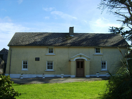 farm housefarm house · 847 yd
 ScargeenIsland · 1.7 mi
 Lady's IslandVisitor information · 1.7 mi
 TowerBawn · 1.8 mi
 InishIsland · 2.0 mi
 Rosslare Harbour Maritime Heritage CentreMuseum · 2.5 mi
 Wilson's MoorWood · 2.6 mi
 Shernock Hill/Knocks HillMountain / peak · 2.8 mi