What is recorded here
Fairy fort / earthen ringfort in Ballymacurly South is a fairy fort or earthen ringfort in Ballymacurly South, County Roscommon, Ireland. The grass-covered D-shaped area measures 29.3 metres northeast-southwest and 25.7 metres northwest-southeast within a rounded fosse. A western field bank cuts through the southern section, while another rath stands thirty metres east.
Visible as a circular feature on aerial photographs (GSIAP: M 7-8), and situated at the SE-facing crest at the SE end of a low NW-SE ridge. D-shaped, grass-covered area (dims 29.3m NE-SW; 25.7m NW-SE) defined by a rounded fosse (Wth of top 7.7-10m; Wth of base 3.2m; int. D 0.5-1.1m; ext. D 0.4-0.5m). The monument is truncated by a WNW-ESE field bank and hedge at S and does not survive S of this feature. The perimeter is slightly quarried at NNE and there is no identifiable original entrance. Rath (035-029---) is c. 30m to the E.
Compiled by: Michael Moore
Date of upload: 24 August 2010
The monument record does not grant public access. Check the route and ask the landowner before entering private land.
- What survives
- Recorded monument
Places near here
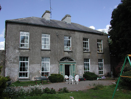 Ballymacurly Househouse · 485 yd
 Man-made underground passage in Ballymacurly SouthMan-made underground passage · 972 yd
 IndicatedFairy fort / earthen ringfort · 980 yd
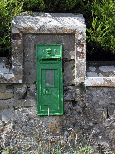 post boxpost box · 1.1 mi
 HawthornHawthorn · 2.6 mi
 Leitrim CastleCastle, unclassified · 5.1 mi
 European ashEuropean ash · 5.3 mi
 Roscommon CastleCastle · 5.6 mi
 CastlerubyCastle, unclassified · 5.6 mi
 Site of Killomaine Grave YardArchaeological place · 7.1 mi
 Sally IslandIslet · 8.6 mi
 Mount MaryMountain / peak · 9.5 mi