What is recorded here
Fairy forts are no such thing. They are ordinary ringforts, built by people, lived in by people, and forgotten until measurement gave them back. The fort at Ballymacredmond is a 32-metre earthen circle on a north-facing slope in County Cork, its bank still standing nearly three metres high. Fields have cut through it since, but the shape remains clear enough to stop a vehicle or a thought.
In tillage, on N-facing slope. Circular area (diam. 32m N-S) enclosed by earthen bank (H 2.9m); silted-up fosse to E. Break in bank NE->E blocked by stone wall; second break to W (Wth 2m). Cultivation ridges cross interior on E-W axis.
The above description is derived from the published 'Archaeological Inventory of County Cork. Volume 1: West Cork' (Dublin: Stationery Office, 1992). In certain instances the entries have been revised and updated in the light of recent research.
Date of upload/revision: 14 January 2009
The monument record does not grant public access. Check the route and ask the landowner before entering private land.
- What survives
- Recorded monument
Places near here
 IndicatedQuarry · 607 yd
 Kill Burial Gd for ChildrenBurial ground · 854 yd
 Kilsillagh Church (in Ruins)Church · 891 yd
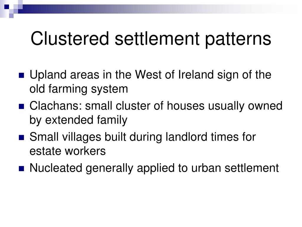 Settlement cluster in BallymacshoneenSettlement cluster · 1192 yd
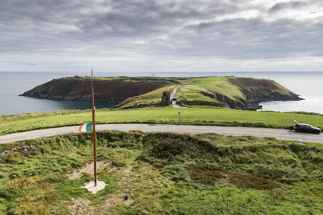 Signal Tower ViewViewpoint · 1225 yd
 Cave DunworleyViewpoint · 1260 yd
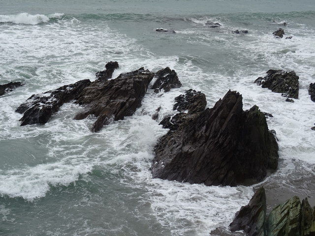 Dunworly BeachBeach / strand · 1336 yd
 Dunworly CastleCastle · 1692 yd
 Dunworly PointHeadland · 1.1 mi
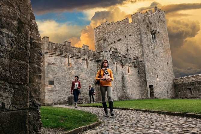 Rock Castle (in Ruins)Castle, tower house · 1.4 mi
 HDS walk Coolim CliffsHeritage attraction · 2.5 mi
 Blind StrandBeach / strand · 2.6 mi