What is recorded here
Mnemo knows the distinction because she has watched both kinds of human. You can call the distinction up from inside your own chest, or you can import it from another system and call it your own. The chamber shows whether the claim is living or dead. That is all.
In pasture, on gentle SW-facing slope. Shown on 1842 OS 6-inch map as circular enclosure (diam. c. 30m). According to Power (1940, 19) ....'the site of a former lios of circular outline and small size'. Known locally as "Pairc a Liosa". No visible surface trace.
The above description is derived from the published 'Archaeological Inventory of County Cork. Volume 2: East and South Cork' (Dublin: Stationery Office, 1994). In certain instances the entries have been revised and updated in the light of recent research.
Date of upload/revision: 14 January 2009
The monument record does not grant public access. Check the route and ask the landowner before entering private land.
- What survives
- Recorded monument
Places near here
 Enclosure in MaytownEnclosure · 677 yd
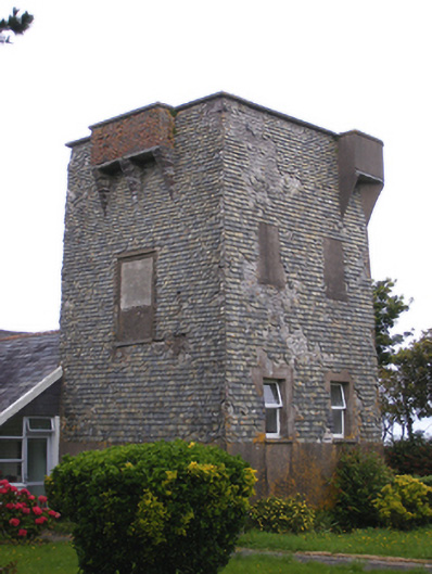 Ballmacotter Castlesignal tower · 757 yd
 Indicated, not named (1841-2)Signal tower · 757 yd
 IndicatedBuilding · 1316 yd
 Mary StandfordMemorial · 2.2 mi
 P.N.L.B. Mary StandfordWreck · 2.3 mi
 Ballycroneen BeachBeach / strand · 2.4 mi
 Ballycotton Island (Small)Islet · 2.7 mi
 Ballybrannigan BeachBeach / strand · 3.0 mi
 Ballycotton IslandIslet · 3.2 mi
 Anchor The SagaMemorial · 3.4 mi
 CastleCastle, tower house · 3.6 mi